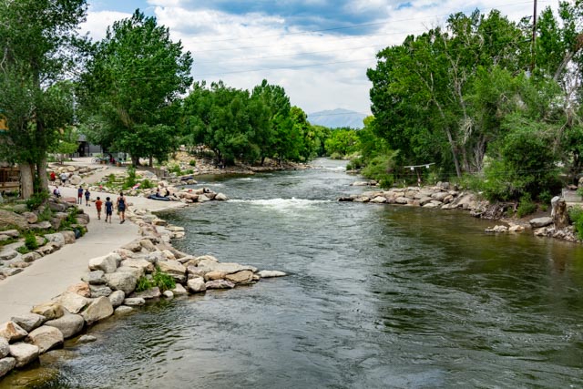
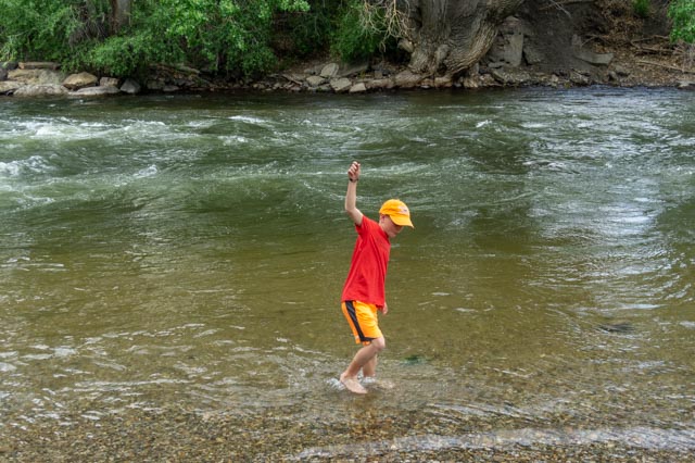
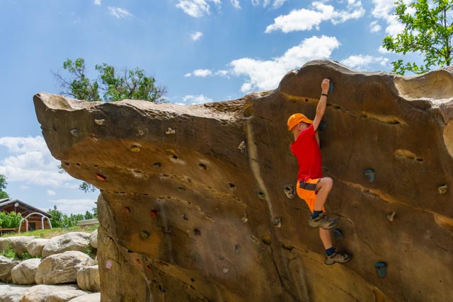
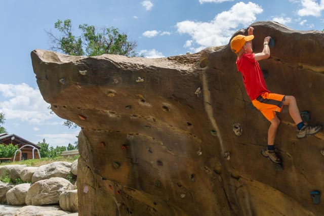
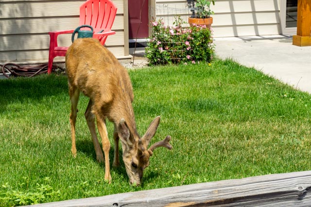
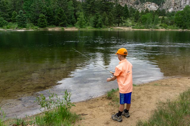
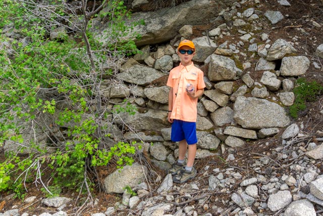
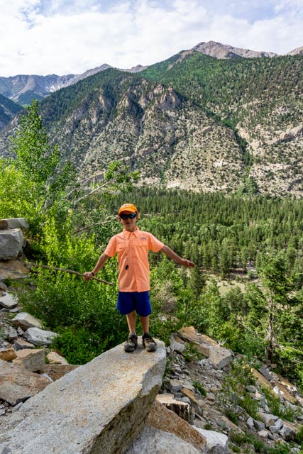
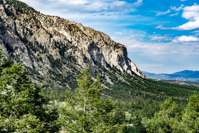
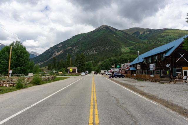
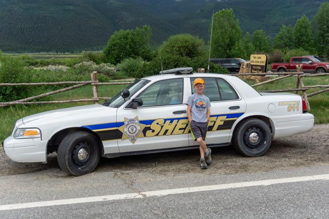
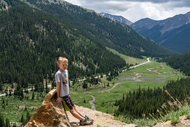
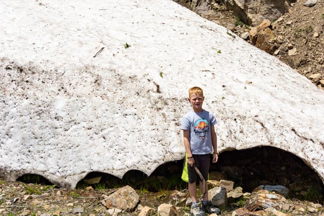
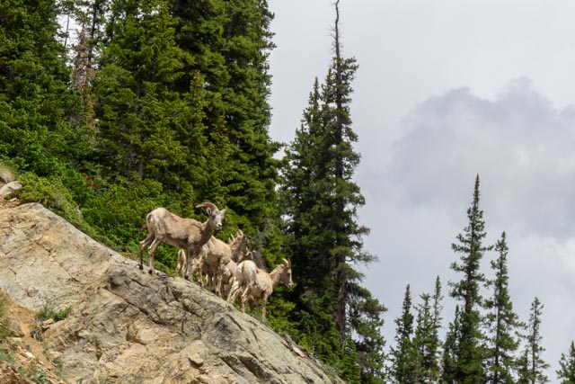
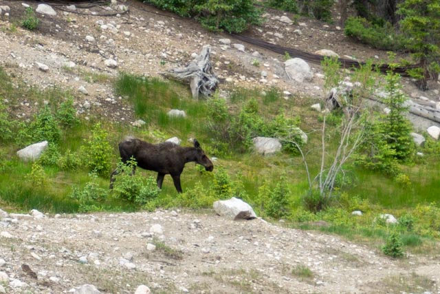
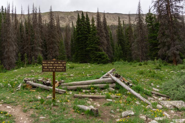
We had never been to the town of Salida before so we decided to take a ride south about 26 miles to Salida. Both Buena Vista and Salida share the Arkansas river before it turns east and enters the Royal Gorge near Canon City.Salida is also the home base for skiing at Monarch Mountain, about 13 miles west.The Arkansas River is the most commercially rafted river in the US. There are rapids (many hand built by the towns) that range up to a Class V+. The towns of Buena Vista and Salida have made the rivers safe for everyone if you follow the maps. Example: There are sections that are rated Class 0-1, Class I and II, Class II and III, Class III and IV, etc. Choose your poision!Of course, Jason had to get wet. There is a competition course set up just upstream from here and we watched several kayaks actually go upstream through the rapids.In the town center we found this city park area. Jason immediately went to the climbing rock and did a couple of the easier routes. We challenged him to try the progressively harder routes, which he eventually completed. Then he had this really hard overhang to overcome. He managed to get all the way up to this point on the overhang . .He made it! It only took a determination and the right attitude.This guy was slowly walking through the yards having lunch.I got a one day fishing license and Jason and I went to Chalk Lake to try fishing. There were trout visible in the flowing water but they were hard to catch.After fishing, we went up the road to find the original roadbed for the Denver South Park and Pacific Railroad, built in 1880. The trail is not marked but we knew it started near the Chalk Creek Cascades. Cathy dropped us off and on we went. We did find the roadbed. This is the view down from the roadbed looking at the lake we were just fishing at. Can you see our truck? Mt. Princeton is showing (center left) and the long saddle leads to Tigger Mountain (center right).Jason is looking at a retaining wall that was hand-built more than 100 years ago. The roadbed, once you were on it, was very easy to follow except when the bridge was washed outJason crossed a small footbridge and the main bridge was missing.The next original bridge was built somewhat more substantial so I trusted myself on it. Jason “volunteered” to climb down and take the picture.Another section of the roadbed that was obstructed by a rockfall. We climbed through it and kept going.We found a “balancing” platform overlooking the valley below.The famous Chalk Cliffs came into view as we were nearing Mt. Princeton Hot Springs and the end of the trail.We headed up the road for a drive and wound up on the road to Independence Pass. We passed through the neat little town of Twin Lakes. We talked with a volunteer in the Visitor Center (on the left) about the area. He was very interesting and gave us a lot of information. La Plata Peak rises 14,360 feet just to the left of town. A local resident (name unknown) who happened to be a former astronaut, tried to climb La Plata solo, got caught late in a storm and decided to glissade down a chute to save time on the decent. He had no experience glissading and injured himself and came very close to dying on the hill before rescuers got to him. He assured us that 14ers are never easy and are not something to be taken for granted.When Jason approached the Sherriff patrol car he called back “no legs, the guy has no legs!” It was a mannequin! It did the trick and managed to slow everyone down. That’s our truck in the background.The mountain on the left is La Plata Peak, just a short hop through the park. Maybe someday . . .Continuing through Twin Lakes, we went to the top of Independence Pass, 12,096 feet. This photo is looking back with the town of Twin Lakes deep in the valley below. We drove up from Twin Lakes near Leadville. If you continue on this road, it leads to Aspen . . . another day maybe. There were snowdrifts and plenty of frozen water on top even though the pass had just been opened.Jason is looking down at the river and roadway leading up to the pass. This was one of a couple of wide spots in the road. He really has his eye on the snowdrift just down the road . . . Right after this photo was taken I was hit with a mysterious snowball and the fight was on! There was no place to pull off so we just took what we could from the car. This group passed in front of us while we were heading back down the hill from the snowdrift.IF you see ground squirrels, chipmunks andhummingbirds this close, you must be in . . . Saint Elmo!Jason had his hands full. He used two bags of seeds!Leaving Saint Elmo, we headed up 4×4 Hancock Road (CR295) towards the Alpine Tunnel National Historic District. Jason spotted this girl down in the valley so we stopped to take a couple of photos. After reaching the townsite of Hancock, it started to drizzle and we were the only ones around so, after walking around (and finding out the Alpine Tunnel was actually a hike of about six miles (roundtrip), a little too much with the drizzle and the late afternoon time. The sign reads: “This saloon is the last remaining structure in the town of Hancock – Please do not destroy it”We did stop on the way down the hill for me to check out this cabin or hotel. There was still a fairly intact staircase leading upstairs but the flooring was rotted so I pretty much stayed outside the walls.Maybe we were a day late on this stamping mill?
We were going to make a side trip from this side trip to the Mary Murphy Mine but the very steep (did I say steep?) ORV road coupled with the drizzle coupled with being miles from help coupled with we were alone and it was getting dark told us to skip the mine this time.


Lots of great memories for Jason! I can’t believe how much he has grown!
LikeLike