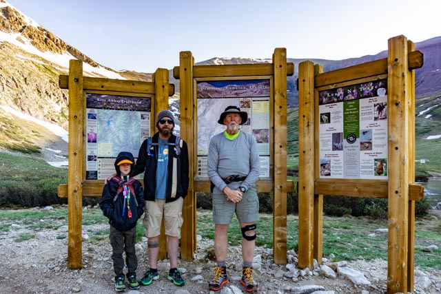
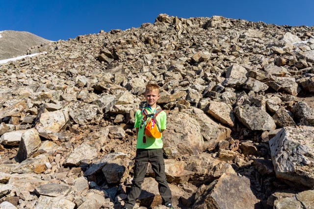
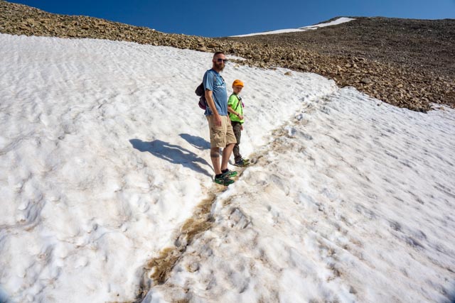
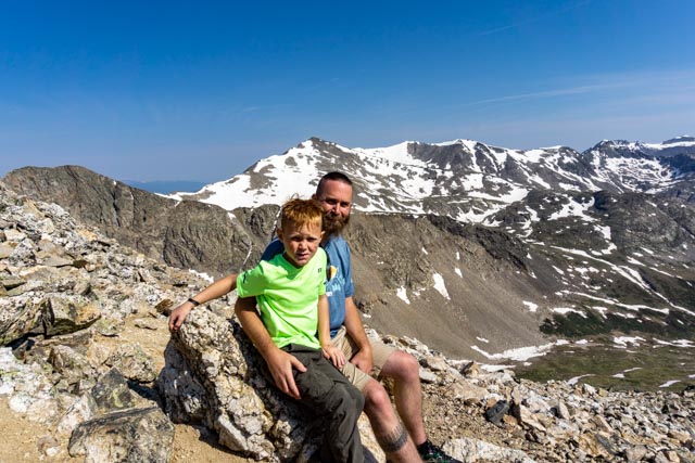
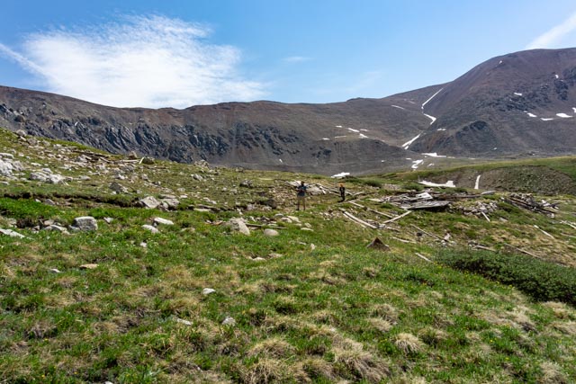
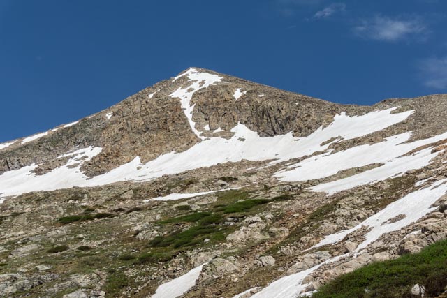
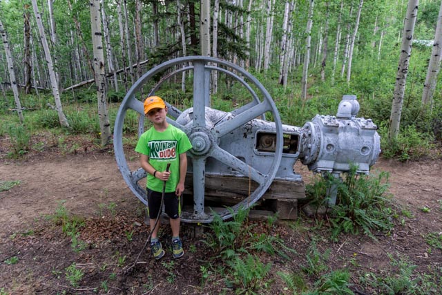
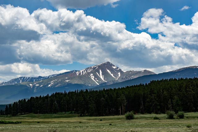
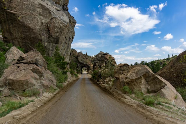
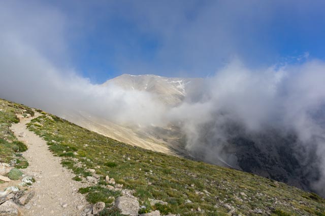
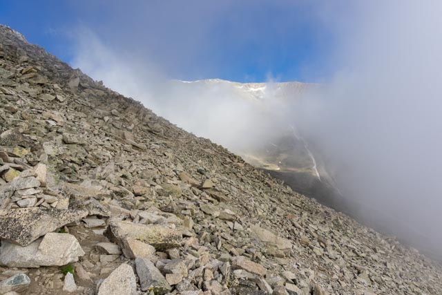
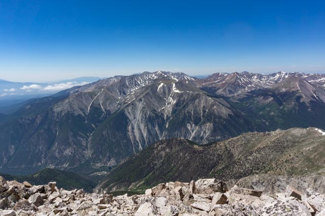
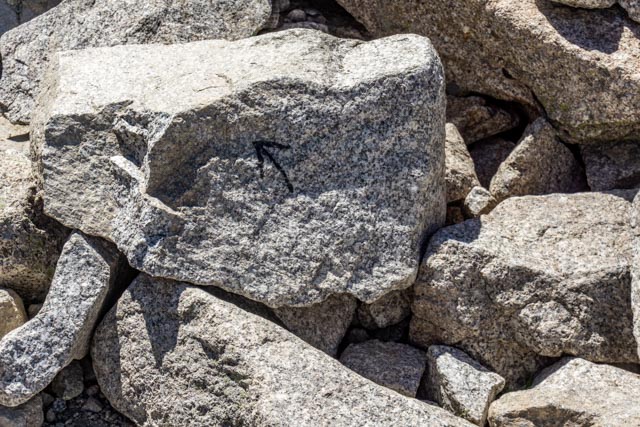
Here are Jason, Michael and me at the Kite Lake trailhead, heading for Mt. Democrat (rising on the left), Mt. Cameron (directly behind us), Mt. Lincoln (out of sight behind Cameron) and Mt. Bross (rising to the right). We have already driven about 100 miles from camp and the sun is just beginning to rise. We saw five pure white bison on the trip to the trailhead. They are considered by Native Americans to be sacred animals.Jason posed on the scree-field trail, on our way to Mt. Democrat.We are at about 11,000 feet here. Does Jason look just a little winded?Michael and Jason crossed a snowfield leading up to the saddle between Democrat and Cameron. The saddle is at about 12,500 feet.They decided to rest on the saddle. The lakes are frozen in the valley directly below. Last time I was here it was snowing and there were some pretty strong waterfalls below!Here they are heading down from the saddle. Michael chose (wisely) not to make the summit attempt. That is frozen Kite Lake where Cathy is waiting in the valley below. Can you see her?Michael and Jason explored one of the many mine remnants along the trail.We took a look back a Democrat, looming over us on the way down. We went as far as the saddle to the right, and it was another 1,500+ vertical to the summit, over some very large boulders, with about an hour and a half of additional climbing. After dropping Michael off at the airport a few days later, we went back to camp. In the morning, we took a drive up Clear Creek Canyon to the abandoned mining townsite of Vicksburg, about seven miles on the dirt and rock strewn road. This was also the trailhead for Mt. Oxford and Mt. Belford, both 14ers. We walked down to the bridge over the creek to see the actual start of the trail. Rocks, rocks and more rocks.There was plenty of mining equipment abandoned on site and most was in pretty good shape. There are mostly climbers and trekkers at this point on the road so vandalism was at a minimum.Most of the housing on the main street was pretty intact.Wagons, buildings, grindstones, a paradise of abandoned, explorable mining equipment was to be seen.And of course, the executive office structure was still standing. At this point I was actually considering Mt. Belford (14,197 feet) from the Missouri Gulch Trailhead, an eight mile round trip. With the last two miles being mostly scree, I decided to call it and not make the attempt. It would have been almost 11 miles to include a ridge hike over to Mt. Oxford (14,153 feet).Leaving the canyon and once again on a semblance of pavement, we stopped to take one more look at the mountain.This is Clear Creek Reservoir, near the junction of CR390 (Clear Creek Canyon) and SR24.Heading back towards Buena Vista, I took another side trip, crossed the Arkansas river and went south on CR371, an old railroad grade and stage coach trail. This was a series of three railroad tunnels, back-to-back. We waited for a couple of cars to pass before making the trip through. There are a lot of kayakers on this road as there are several put in or take out spots between the whitewater. We stopped at an inviting rock to allow Jason (and me) to do a little scrambling before we entered town. We went quite a way on the rocks and found a lot of Bighorn sheep parts scattered about, so we headed down through a side canyon. This was apparently a kill zone for a few mountain lions . . . . As it was becoming the usual in the afternoon, the thunderstorms are brewing. I left camp early in the morning (about 4:30) so I could be at the trailhead for Mt. Princeton near sunrise. I was on the trail by 7:00. I had to park about a mile downhill from the actual trailhead as there was no parking on the 4X4 road and the first spot wide enough for me to park was well down the road. I placed rocks under my tires in case someone clipped the truck . It was foggy (we were in the clouds) and I could not actually see more than a few feet until I was about a mile up trail. This is the first time I saw part of the mountain.About a mile up trail is where the scree started, a lot of very loose rock, coupled with the very steep slope made for tricky footing.Couple the scree, the slope and the sometimes limited visibility, this was going to be a challange.Looking up the “trail” continued to give me confidence . . . hahaEvery once and awhile I got a chance to see ahead for some distance. It always looked like smooth sailing, but it was actually just more scree as you got closer.I finally made it up to the cloud line and enjoyed this view looking back.This is the ridge line we had to go up. What you see as the top here is a false summit. The actual summit is probably 500 vertical above that.I watched others struggle and, upon taking advice from the descenders (who had the benefit of the view from the top) we agreed that the very top of the ridge line was the easiest and safest route.These are three others that I was climbing with. We are all struggling but determined to summit.Ah, I made it. Now the hard part, going down through the loose rock.We saw two fighter jets make a low pass through the canyon below. It was kind of neat looking down at them. The pilots must really enjoy the view as I have seen similar jets from several of the mountaintops.The trail that is visible here is an abandoned trail. Our decent takes us down the ridgeline (center right) to the saddle between Princeton and Tigger Mountain (just to the right of the small cloud) then through a series of switchbacks down the slope to meet the abandoned trail just before the third “fold”. It sounds kind of confusing but in reality there is a lot of distance between my vantage point and the switchbacks, more than a mile and about an hour and a half of scrambling. There are several climbers on the trail but they are too far to be seen.I remembered where this was from the trip up in the morning. This was the ONLY directional sign on the entire “trail” and was located where the abandoned trail breaks off into the “newer, safer” switchbacks. Without the arrow, I may have gone the logical way, it did not seem reasonable that the trail would go “straight up” the gully . . whow!


Beard??? Never saw that before!
LikeLike
I had to shave it off when we got back. . . Cathy did not like it. (It gave me the “mountain man” look though!
LikeLike