Mount Sherman is a high mountain summit in the Mosquito Range of the Rocky Mountains, measuring 14,043 feet, and is one of the famous Colorado “fourteeners” The mountain was named in honor of General William Tecumseh Sherman.
We rose at 3:30 this morning, were on the road by 4:00, heading towards the trailhead near Fairplay, CO, and arrived at 7:00. This is a view from the trailhead parking area, about ten miles off the highway on a gravel road and then an additional 1.5 miles on a 4-wheel drive road.

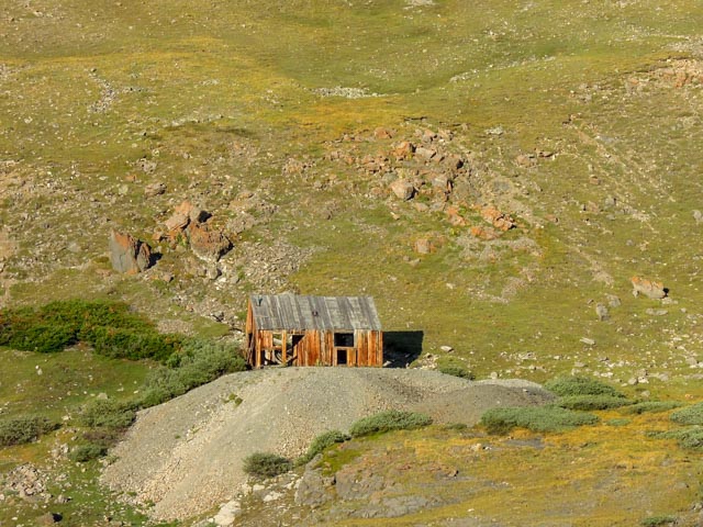
The area is studded with gold and silver mines, this one was directly across from us at the start.
This is the second mine we passed. Cathy is heading uphill, directly over one of the hard rock tunnels.
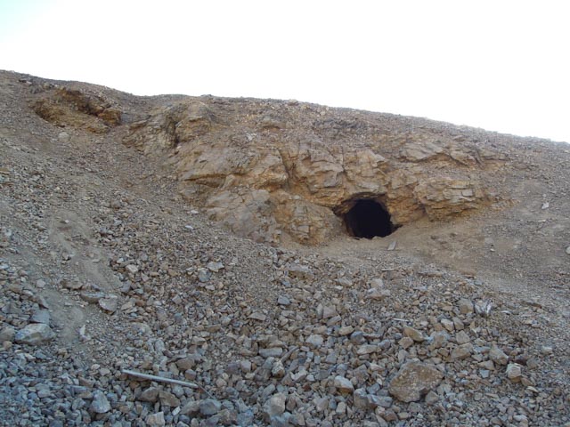
This was my big mistake of the day. I went off trail to explore this mine and when I returned to the trail, I directed us up to the next mine, which was about 300 feet vertical and 3/4 mile off trail! Oops?
Here is Cathy diligently following my (mis) directions.
Here is the mine we reached in error. You can see Cathy coming up behind the boiler.
Back on track, we approached this mine, at almost 13,000 feet. Cathy is coming around the last switch-back before the mine.
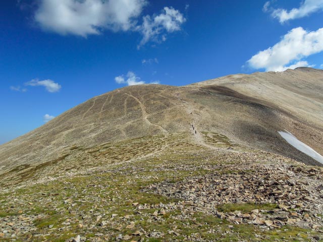
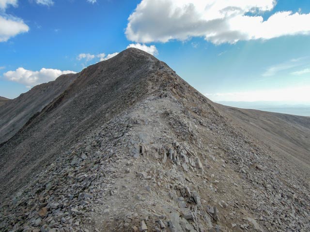
The summit looked close now. But it was still 1,050 vertical feet and about one mile away! Actually, what you see here is a false summit, the real summit is an additional couple of hundred yards further up the mountain, over rocks of course!

Cathy is now substantially above the mine and is approaching 13,200 ft. She is getting a little leery of the size of the rocks she is climbing on and the steep drop-off to her right.
Cathy decided to wait at this point and I watched climbers negotiate the braided trail to get some ideas on which one to take. I decided to take the right trail up the rise ahead, then the trail just below the rise until reaching the next hurdle. It looks rather small here but it is about 500 feet in height. The actual summit is still not in sight. (Cathy has three ascents so far, an 11,200 foot, a 13,200 foot and a 14,264 foot climb!)
Here are a couple of shots of the scenery on the way up.

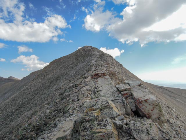
I had to negotiate this narrow ridge, with steep drop-offs on both sides.
Then, to make it al little harder, some rocks were thrown in.
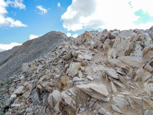
Then, for a finale, big rocks to climb over and around, holding on so you don’t fall into the abyss on either side. Just don’t look down!
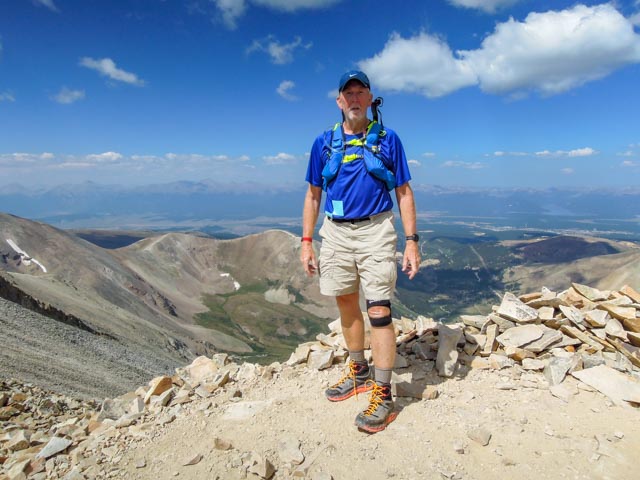
Ahh, the rewards, the summit. My watch shows a little different from the official elevations as I went to the highest point on the summit. Evidently the government takes a more central reading. That is the summit sign-in sheet in the tube next to my watch.

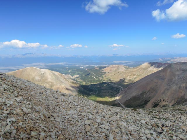
Below is a view of the scree slopes. They were slippery and you might go the distance if you fell.

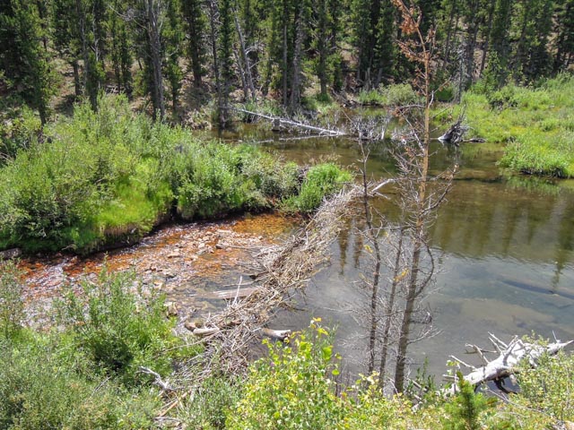
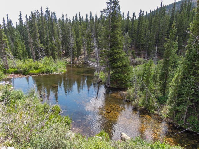
Once returning to the truck at the trailhead, we took notice of the many beaver dams on the creek on the way out. It was dawn when we arrived and we did not notice them on the way in. The creek was loaded with brown trout.
Well, we arrived back in camp at about 3:30 p.m., just in time to prepare the MH for our change in venue in the morning. We will be heading to the Leadville area for a few days.
14’r Count to date:
- Mount Evans 14,264 feet
- Quandry Peak 14,265 feet
- Mount Sherman 14,043 feet

Don’t know how you are doing those elevations! Cathy too! Yikes! Be careful!!
LikeLike
We are in Leadville now, and will be going into tow to watch the finish of the 100 mile cross country bike race. I will be attempting Mt. Massive in a couple of days, at 14,421 ft it is 2nd highest in CO and 3rd highest in the lower 48! I may throw another one in before my Pikes Peak attempt next week. The mountains are unbelievable!
LikeLike