We drove from Amagosa Valley into Death Valley and spotted these just before we entered the park. Bighorn sheep are hard to spot, the blend in pretty well with the background. There were seven in this group, with a large male and large female protecting their baby. We drove about five miles down the road before we could find a spot wide enough for us to turn around, but it was worth it to see these up close.
We spent two nights in Furnace Creek, at an elevation of -210 ft. Furnace Creek is a designated “Dark Sky” area and the stars at night were unbelievable! But, I don’t want to get ahead of myself.
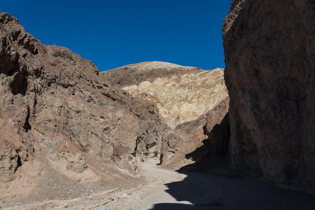
After getting set up for “dry camping”, we drove out to find some hiking areas. We came across this first, known as Golden Canyon. This canyon goes in for about four miles and is very narrow and steep walled in places. The views of the rocks and hill were fantastic, with a whole palate of colors available. The hike was basically up an alluvial flow but there was some large ledges and rock to climb over at points.

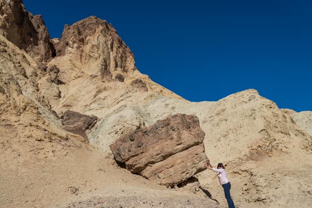
Cathy decided to do some rearranging on our way in but was unable to move this stone out of the way. Always straightening up!
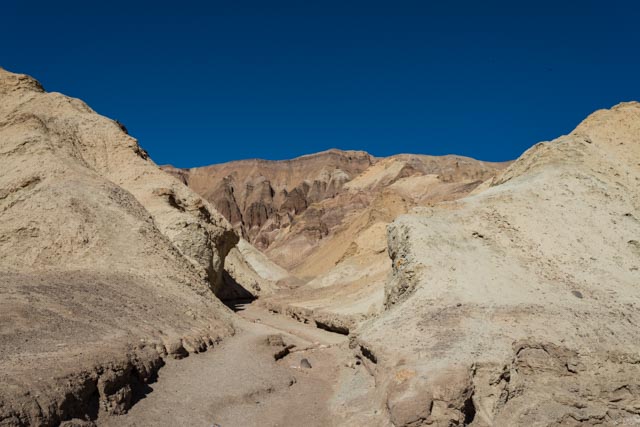
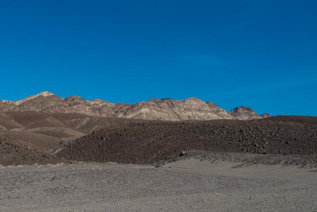
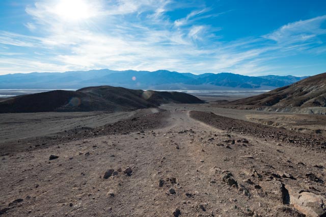
This is one of the myriad of side canyons, making it very easy to get lost. As the runoff water made its way down to the valley, it formed large alluvial fans, which line the sides of Death Valley.
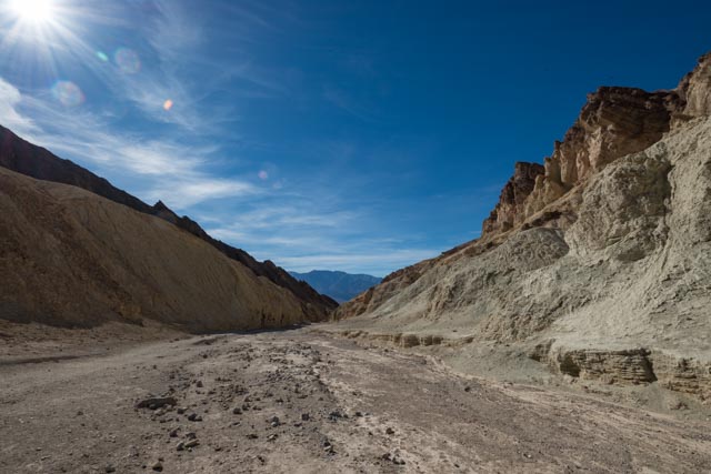
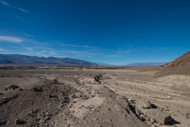
This is a photo where I tried to capture the layers and textures of the valley. The gray at the bottom is the fine gravel and the alluvial fan, with the larger volcanic based (darker) rock lining the edges of this fan, with layers of mountains behind, some going to elevations of up to 5000 to 6000 feet.
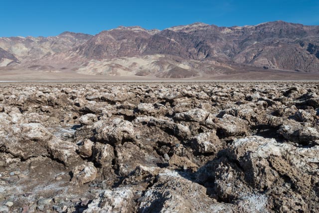
This is a field of crystalized salt in the Death Valley saltpan, one of the largest in North America. This is in the area known as Badwater Basin, at the south end of the park.
Hence, the obligatory photo:

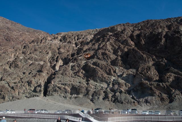
I highlighted the sign, halfway up the ill in the photo, showing where the sea level elevation is.
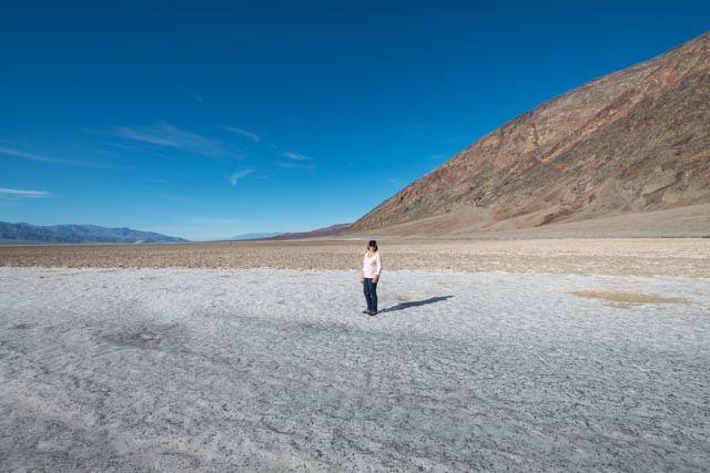
Cathy taking a stroll on the salt flats, at -282 feet. It would be hard to use the excuse of running out of oxygen here!
This is the actual spring at Badwater, that has been pretty constant for millenia.

This is looking back at our truck from a vantage point that I hiked up to take the next picture.
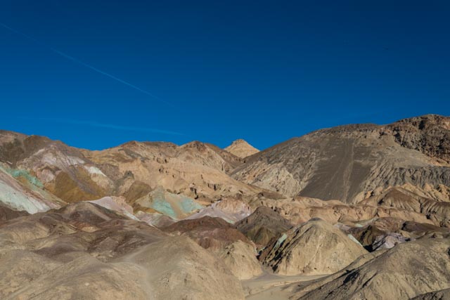
The varied colors of these minerals was dramatic. This area is known as “Artist’s Palate” and is on a nine mile loop off the main highway.

That was beautiful!
LikeLike
Thanks Myrna. We really enjoy the desert and are already making plans to return .
LikeLike