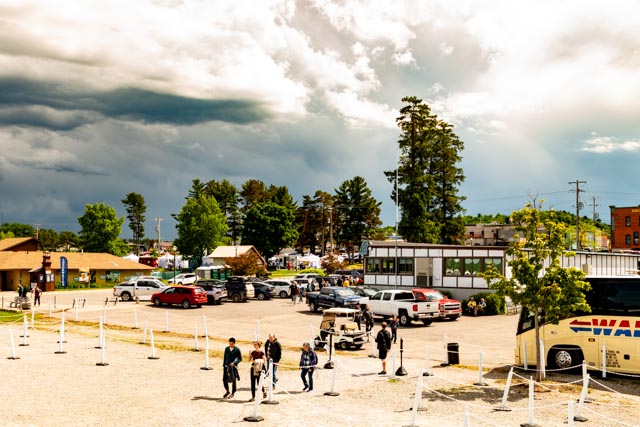
We decided to get tickets for the Pictured Rocks National Seashore tour boat, we got top deck seats and watched the late arrivals. The weather system you can see in the background moved through earlier, resulting in a mostly sunny trip. Cruises were cancelled due to rough water the previous day and the next day so we picked the right day to venture out!

Leaving Munising, the water right off the abandoned Cost Guard station is only about two feet deep due to an underwater sand bar. Notice the light blue coloring.
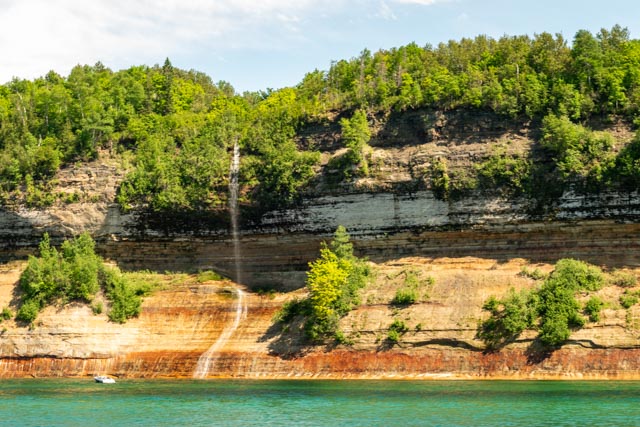
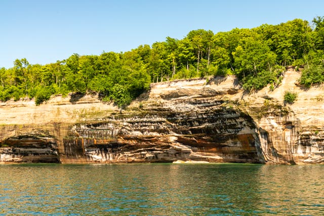
The first waterfall of the trip, Jasper Falls, is pictured above. It is only active for the few months before summer.

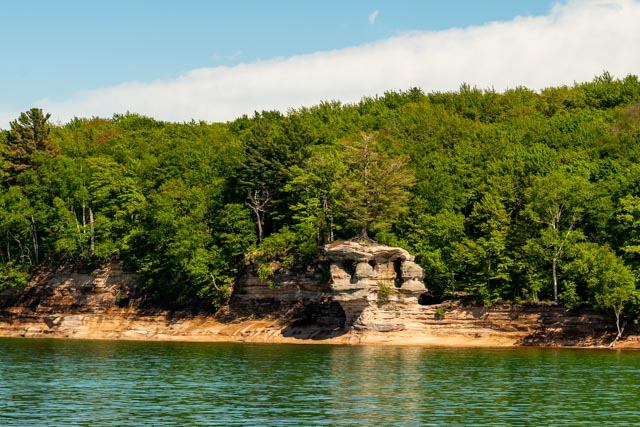
Miners Castle can be seen from the water. We had hiked and climbed to this point the previous day.
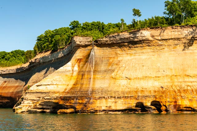
Bridal Veil waterfall is near Painted Coves.

Above are three photos of rock outcroppings that have separated from the cliffs. The last slide contains two that look a lot like tombstones!

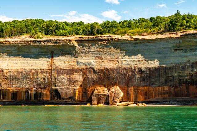
Notice the bluish stripes on the right, there were a myriad of colors from the various minerals seeping from the rock facing the entire length of the park.
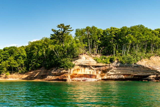
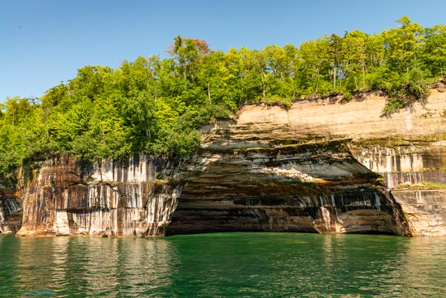
Here is a view of the cliffside near the Painted Coves area.
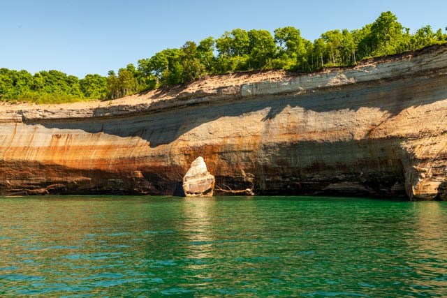
This area is called Caves of All Colors; there are holes and caves in the rock faces of the cliffs.

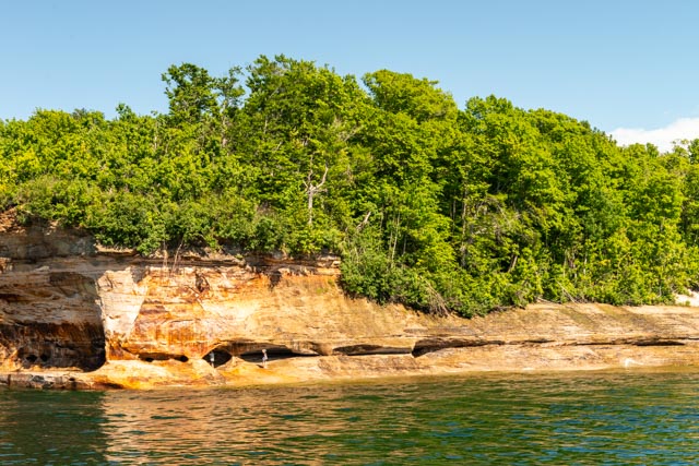
This is one of many caves along the shoreline.
This is called Lover’s Leap . . . although the water you would be leaping into is only two feet deep. You have to be truly in love to attempt that!

This is the view of the backside of Lover’s Leap
We cruised near Rainbow Cave, one of the multitude of painted caves and coves.

Above is an unnamed cliffside column.
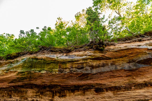
The ceilings of most of these caves are dripping with moisture that seeps from the overhead rock.

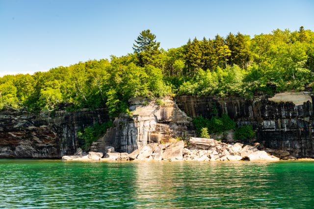
One of the rocks that have calved off of the face of the overhanging cliffs is shown above.

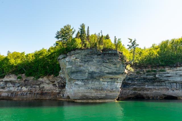
This is Indian Head Point.
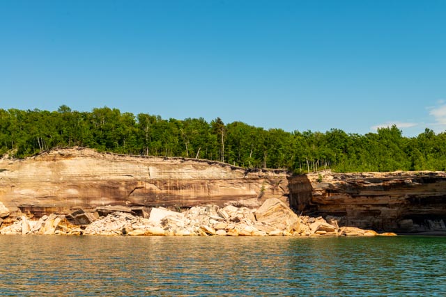
Another recent calving of the cliffs is evident.
This calving happened several years ago and actally removed about 150 feet of the 4,730 mile North Country Trail, which extends from North Dakota to Vermont. Luckily there were no hikers on this portion when it collapsed but it was captured on video by a kayaker. We were told it is available on U-Tube.
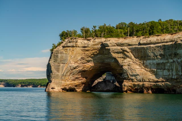
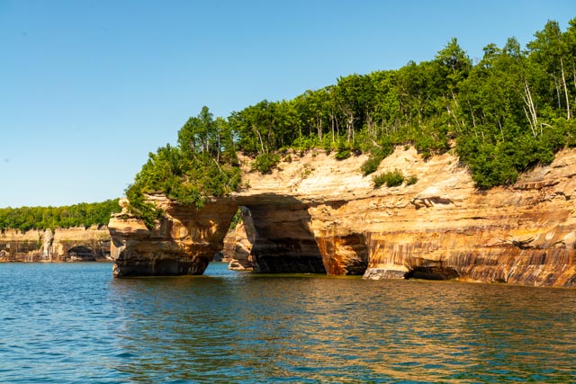
Here is the south side of Grand Portal, small boats were able to navigate through until a portion of the ceiling fell.
Another view, looking directly on Grand Portal from the lake.
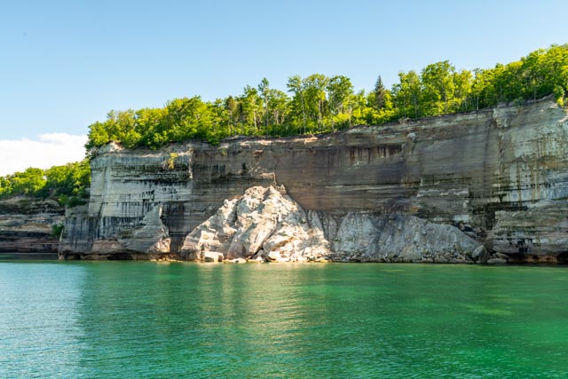
And there is more evidence of cliff calving . . .

The large rock formation on the right is called Battleship Rocks. When you turn the corner, there are several other prominent points that appear to be part of the main “fleet”.
This is a stand alone rock outcropping approaching the Flower Vase area. There were a lot of kayakers exploring this area.
At the right of this photo is a single pedestal with trees, named appropriately Flower Vase.

Just to the left of Flower Vase is this formation, which resembles a four footed planter.

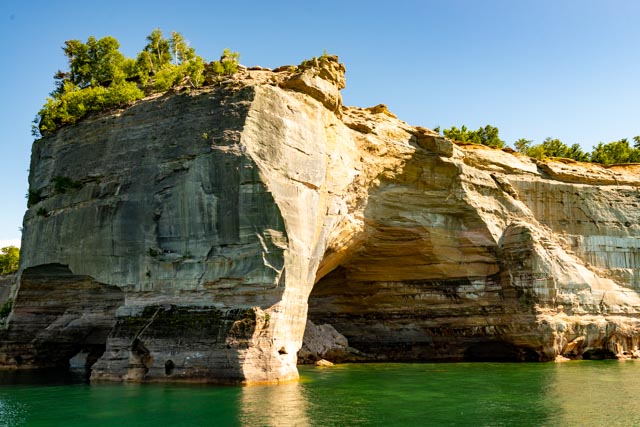
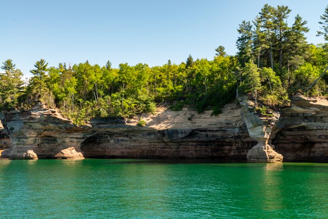
This is a typical overhanging cliff area along the shore.
We got very close to the cliffs at one point, this is looking straight up from the boat. We were in a very tight cove with about five feet of clearance on each side of the boat and water about 20 feet deep. I don’t think they could manage this if the weather got much rougher.
Chapel Rock is the rock and white pine that is featured on the reverse of the Michigan quarter (from the state series). The 50 foot tree on top is connected by a root system that is draped across the chasm to the mainland. The rock itself stands about 50 feet high.

Spray Falls was our turn-around point.
From this point it is only 170 miles to Canada!

This is the Grand Island East Channel Lighthouse. It is one of he most photographed lights on the Great Lakes. This lighthouse was in operation from 1868 – 1908.
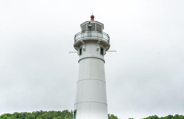
The next two slides are of the Munising Front Range light. This light works in conjunction with the Rear Range Light to guide mariners into the Munising bay. This Front Range Light is located just inside the shoreline near downtown and the Rear Range Light is located up the hillside behind the town. They replaced the Grand Channel East Island lighthouse in 1908 at a total cost of $15,000. During storms they are important, as many ships use the Munising harbor to shelter from storms and there are may obstacles to avoid entering the harbor area, including shipwrecks and the large underwater sand bar described in the beginning photos.

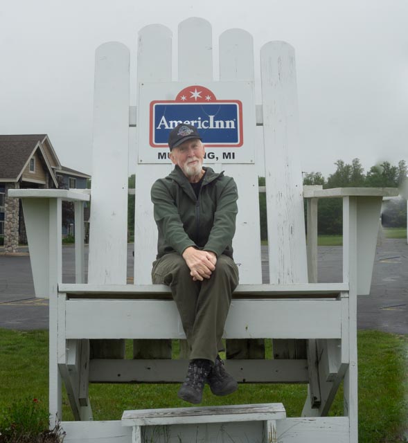
After doing all of the above in a day, I got the Benjamin Button feeling . . .
