After leaving the Buena Vista area, we headed down CO 24 to Salida, then turned West on Highway 50 to Gunnison. We camped just north of Gunnison then promptly headed to the Crested Butte, Mt. Crested Butte, Gothic area.

This is the trout-laden East River between Gothic and Mt. Crested Butte. This area is full of wildflowers mid-summer.

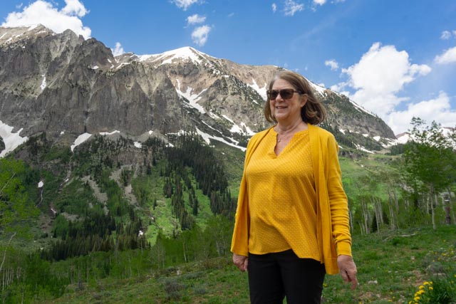
This is a random photo of the mountains between Mt. Crested Butte and Gothic.
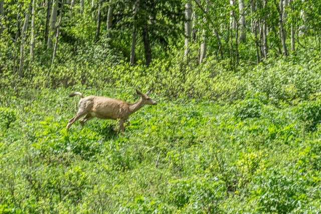
This is a deer we spotted walking though the aspen trees along the road.

The town of Gothic was a booming mining town in the 1880s until the prospectors moved on in the 1890s. The area was rediscovered by a professor from Western Colorado College in the early 1920s. With the establishment of a research facility, it became the Rocky Mountain Biological Laboratory in 1928. They choose 40 post-graduate students a year (from thousands of applicants from throughout the U.S.) to spend the summer here working on scientific projects of their choosing. This area has many fox and deer randomly walking unmolested through town . We had the opportunity to talk with a student from Missouri who had never been to the mountains before and she was extremely happy to be here and doing scientific work that is beyond my thinking. All of the students here would make you proud, it is unlike what you would expect.

We backtracked and decided total the hike to Judd Falls. We passed this weather research station on the way to the falls.
Cathy posed on the trail with parts of the weather station visible behind her.

We watched this group of field scientists diligently working on something. They were focused and I did not stop to bother them with probably arcane questions.
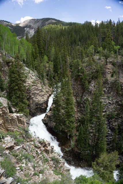
Judd Falls

This was a random, possible seasonal waterfall along the road to Schofield Pass.

We drove on the Schofield Pass Road, a dirt road that turns into a 4×4 road that turns into a trail just north of town, but it was blocked by snow. The trail leads to the town of Crystal but was completely blocked by snow at the Schofield Pass and through the Schofield Park (a large basin). The road was gated on the bridge that I am standing on.
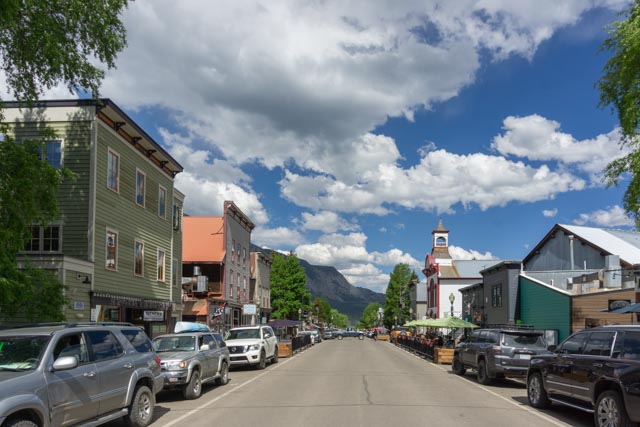
This is downtown Crested Butte. there are a lot of restaurants and gift shops.
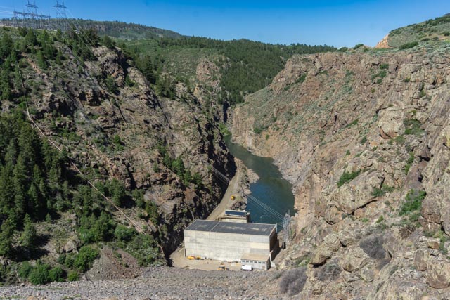
This is the Blue Mesa Dam. We traveled along the lake then made a turn off the main highway leading to Montrose to head towards the town of Marble.

We traveled a while on the north rim of the Black Canyon on a very windy road. On one curve we saw at least a dozen rescue vehicles working on something way, way down in the canyon. We didn’t stop to look. Later we had to wait for a cattle drive that was coming down the road, with several cowboys on horseback driving a small herd of cows along the highway. We were in country now!
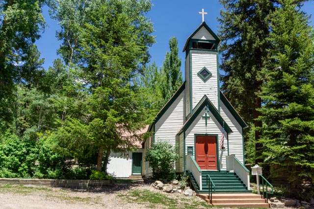
After about five hours of driving and sightseeing, we reached the town of Marble. This church is about all that showed any resemblance of activity while we were there, except of course, the bar.
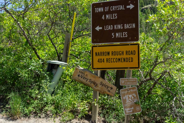
This sign directing us to the town of Crystal was an omen. We took the “Spicy” route. I would hate to see what the “Very Spicy” route would be. Either way, it was an understatement.
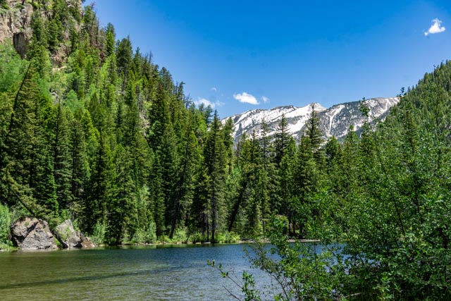
We crossed alongside this lake on the way in. It covers the road which traverses the right shoreline.

We arrived at the mill at Crystal. It is one of the most photographed places in Colorado, if you can get there.
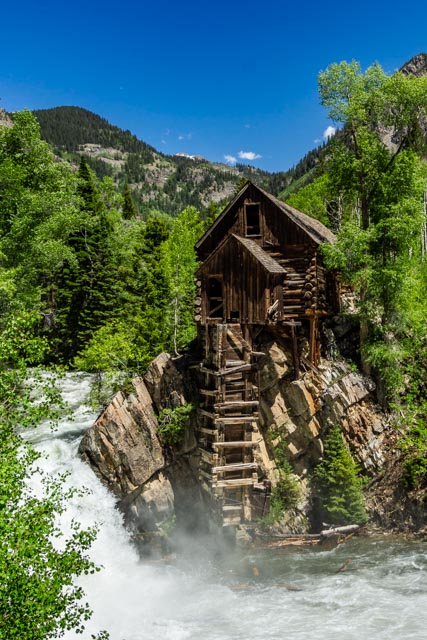
Another photo of the mill.
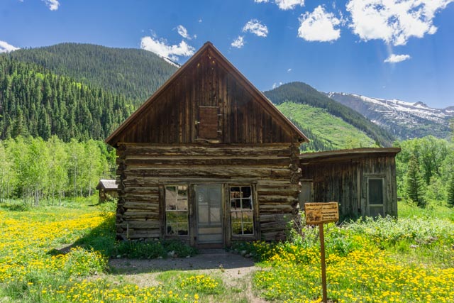
Beyond the mill are the remnants of the original townsite of Crystal. The shortcut back to Gothic is through the mountains in this view.
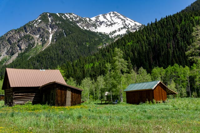
If the building was usable, it had be converted to a rental cabin. This building was not. The rental cabins were all occupied and had used ORVs to get here.

This looks to be part of an oil steam generator system to power a mill.
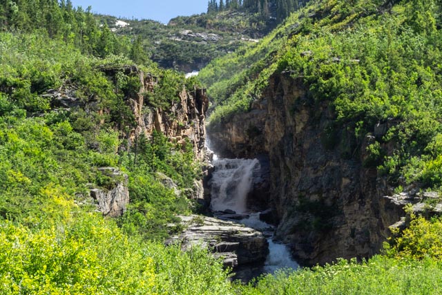
A random waterfall along the road into Crystal.
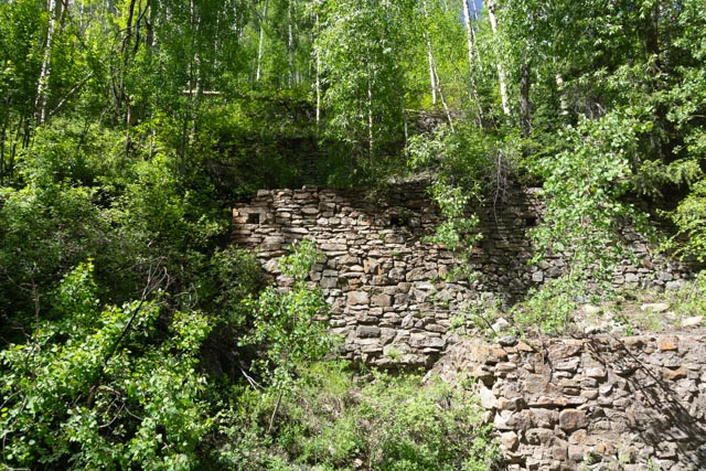
We could not figure out what this wall was. It had several (what appeared to be) portholes? I almost go hit here by a mountain bicyclist who was going very fast down the rocks and dead silent.
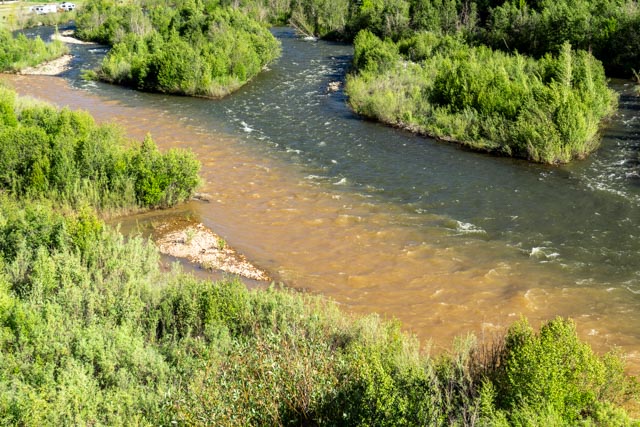
After reaching the highway, we backtracked over McClure Pass to Kebler Pass, which was just cleared this morning. We were told it was a paved road . . . WRONG. We did spot this interesting mix of colors between the two joining rivers.
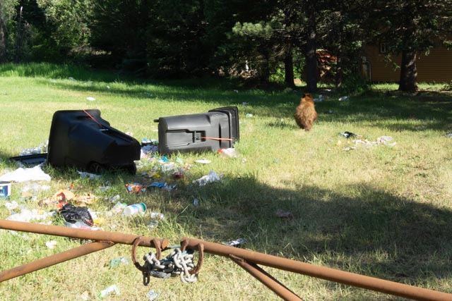
I spotted this bear working the garbage containers. Both containers were tied shut but not tied well enough for him. I got pretty close to take photo but he reared and bolted before I could snap one. I did get his rear end though and he stopped in the shade to watch me.
