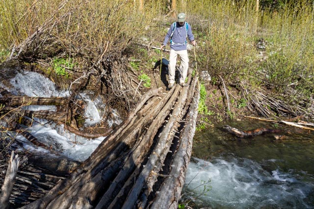
In the morning, Mike and I drove to the Missouri Gulch Trailhead to climb Mt. Belford at 14,197 feet. We took the Missouri Gulch Trail, quickly crossing into the Collegiate Peaks Wilderness. We crossed the creek on this hiker built “bridge” about halfway up to where to trail forks. The right fork continues on to Missouri Mountain (14,067 feet) and the left fork headed for Mt. Belford (14,197 feet) and on to Mount Oxford at (14,155 feet).

We went up an area that was barren of trees (probably from a previous avalanche) it contained many switchbacks and many, many rocks to stumble over.
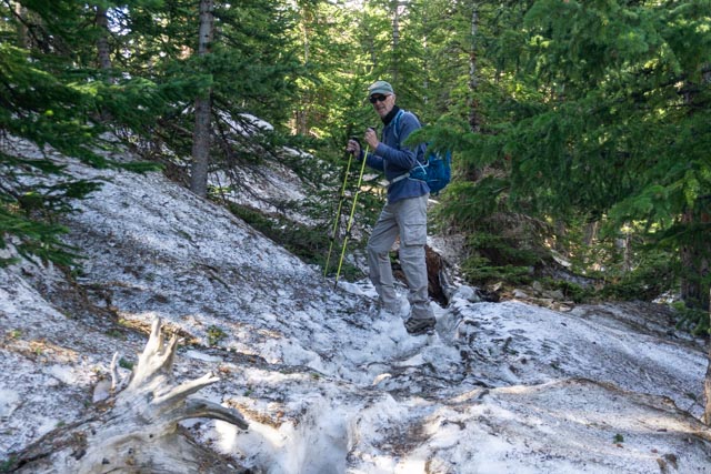
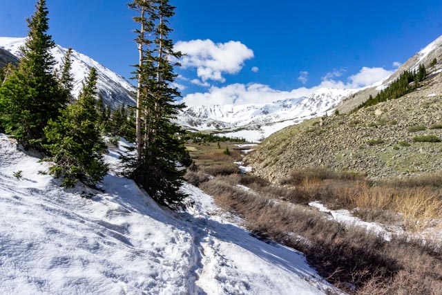
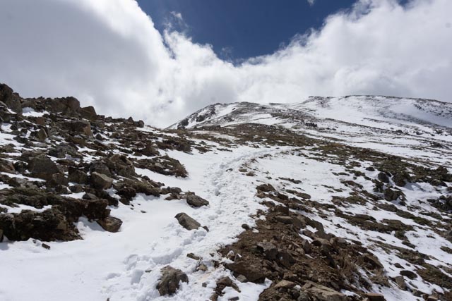
There were several areas where the trail disappeared, covered by snow. We had to find our own route through the brush, going up one way and returning a different route.
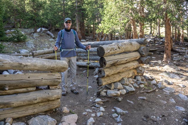
This is the remains of a log cabin, located within a mile of the fork. There were several people camped here but they must have been out climbing as there was no one home.
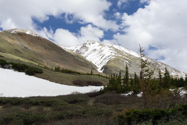
The trail got a little hard to find due to the heavy snowfall but we believed we had our mountain in sight.
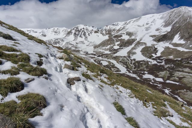
We continued, sans trail, to head uphill. Mt. Missouri was to our right.
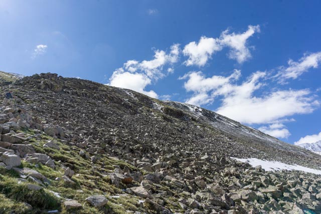
Unfortunately, when the soft snow ended, the talus began. As you can see, there really is no trail visible and the mountain, at this point it is significantly steeper than it looks.
We were out of the rocks and into the snow and ice. I waited for a couple of climbers to pass, going back. They slipped and went for a short ride downhill. They were both wearing snow spikes. Yikes.
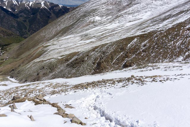
Without a trail to follow, sometimes you just had to make your own. I chose this snowfield because it was not churned up from multiple hikers.
This may not look steep, but it was steep with a pretty good downslope. A gust of wind blew me down the hill a ways before I recovered. The wind gusts were in the 50-60 mph range.
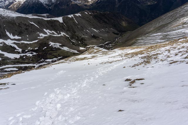
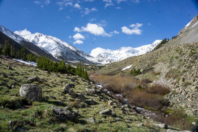
We continued uphill, with the valley we hiked through visible far below us.

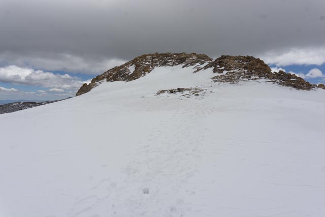
After passing Mike, who had summited and was heading back, I continued for another hour or so to the summit. It became visible for the first time after I rounded a bend towards Mt. Oxford. The mountain we were thinking was Mt. Belford was actually a false summit.
I made it to the summit. I met a climber who came up the side using his ice axe and crampons. I asked him how he was going to get down and he said by “glissading”. I watched him from the top and when he went around the corner I tried it, right into some rocks. I tore my windbreaker and bloodied my arm a bit but nothing was broken, time to get off the mountain.
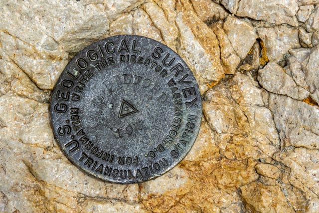
This is the marker at the top. It is the reason for the climb.
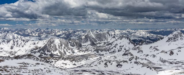
This is the view from the top.
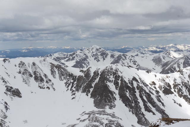
I decided that Mt. Oxford would have to wait for another trip, preferably in the later summer. It looked close, but I knew it wasn’t in the cards this time.
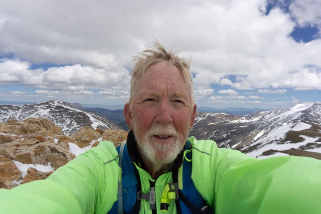
This had to be a selfie because I was by myself.
I saw this guy on the way down, several falls from the top. He was probably thinking to himself “what a knucklehead”.
I took one last look at the false summit of Mt. Belford. The mountaineer way down is to ascend and descend via the gulch between the mountains. It cannot be done without winter equipment. We went up the spine, then circled to the right around to the summit just peaking over the mountain on the left.
