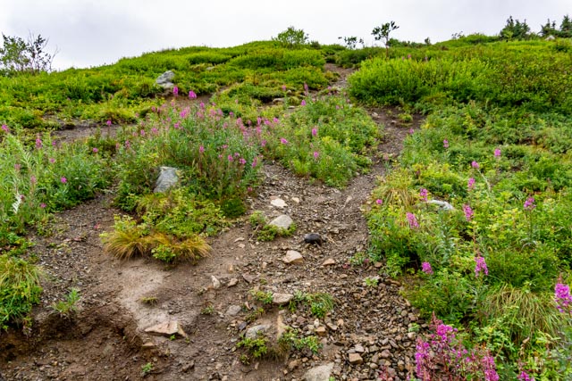
Since we were in the Anchorage area, we decided to hike to the top of Rendezvous Peak, one of the highest in the area. The trail was almost vertical and was very slippery with loose gravel and mud from the morning rain.

The view on the way up was a little obscured by the low clouds but the fireweed was in full bloom!

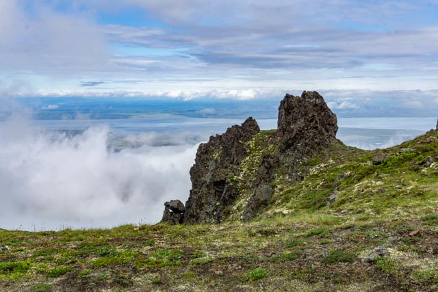
When I reached the “top”, which was an abandoned Nike Missile site, I realized I was on the wrong mountain! I could see the peaks off to my right. I did see a bear in that vicinity but the peaks looked close enough so I started that way.
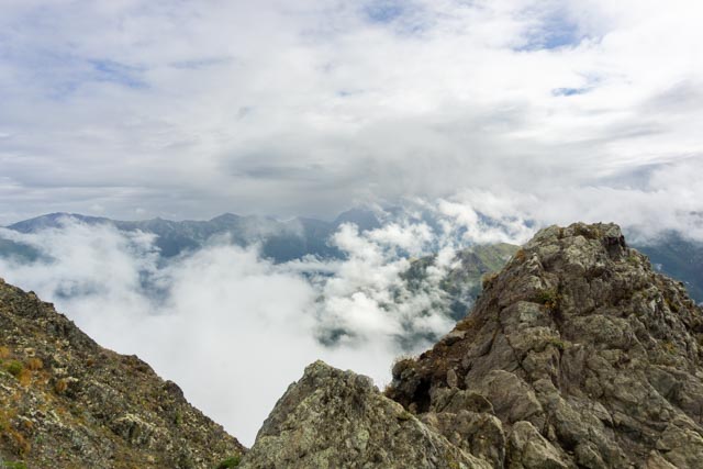
An hour or so later I reached these peaks and quickly found out from two backpackers that I had again climbed the wrong mountain!
Continuing on, again, I spent the next hour (or two) climbing the intended mountain.
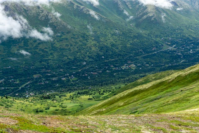
The view of the town below was worth the hike. It would be all downhill from here.
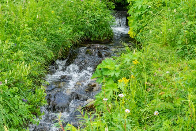
On the way back to the truck I spotted this small stream meandering down the meadow. I was not able to spot any wildlife as they were probably smart enough to stay out of the rain.
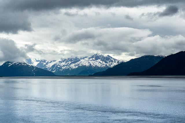
The next day we took a drive to Portage Lake and hopped on a boat to see the Portage Glacier close up. The glacier is around the mountains in the foreground of this picture.

Cathy found appropriate seating for us on the upper deck.

We got very close to the Portage Glacier. We did spot another glacier on the way to Portage and made another trip to hike to it.

On the way back to Anchorage we took a detour to the Girdwood trailhead for the Crow Pass Trail. I had planned on hiking the trail from here to Eagle River but the trail was closed due to the weather. You have to cross the 200 foot wide Eagle River halfway on the trail (without a bridge or any other aids) and the water was too deep for hikers to safely cross. This is the trail leading up from the trailhead.


There were plenty of warning signage placed to “scare” hikers.

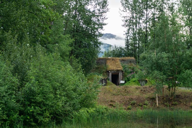
Due to rain, we drove to the Native American Heritage Center just out of Anchorage. We watched some native dancers, listened to talks given by young natives and made a walk of the grounds nearby. Below you can see one of the types of dwellings that the original people lived in. Doors were small (to keep the bears from getting inside) and the roofs and walls were well insulated by earth, making them warm during the winter months.
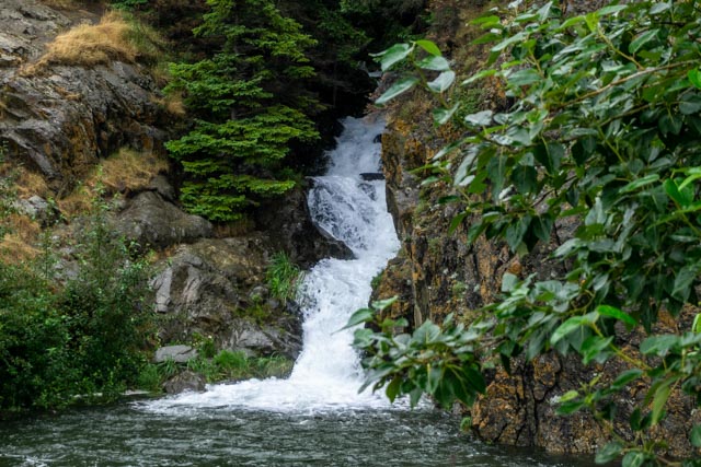
We stopped briefly on the Seward Highway to photograph this small waterfall. There were many of these this time of the year.

Since the wind was blowing, why not try some sail board surfing near Windy Point on the Turnagain arm of Cook Inlet? brrrr

We drove around Turnagain to the town of Hope. It was directly across from the sailboarder on the previous picture. This is the trailhead for the Resurrection Pass Trail which leads overland to Cooper Landing on the Kenai river, about 40 miles of wilderness. I would hike this in a couple of days with by nephew Brent who was coming up from Oregon.
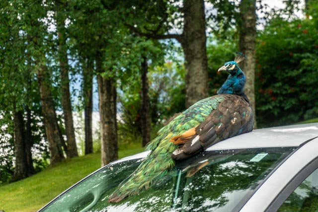
Heading back to Anchorage we stopped at a fish processor on the Seward Highway. Upon leaving the facility, we saw several of these guys warming on the cars parked near ours.

We took a drive East of Anchorage to the Eagle River Nature Center. This is always a spectacular viewpoint for the Chugach Mountains. The mountains in the background are the ones that I was climbing.
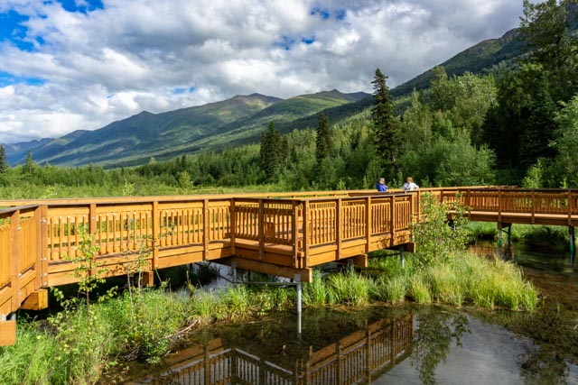
Cathy struck up a conversation with a local who walks here daily from her home. The salmon were not running yet so there were no bears in the area. This is the first time in three trips that we were able to walk on this platform.

We did spot a momma and her moosette munching across the river.
