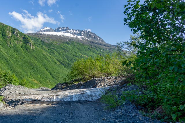
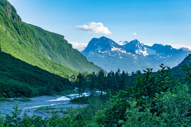
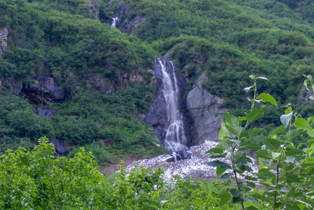
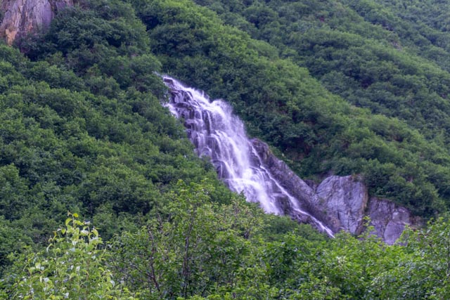
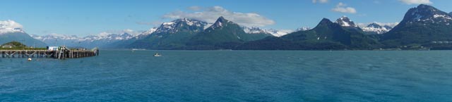
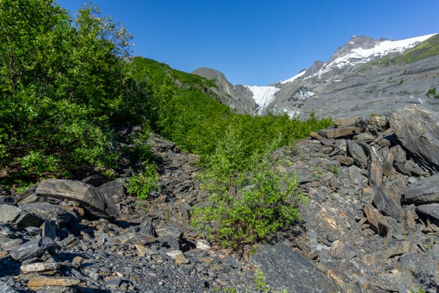
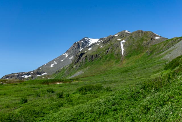
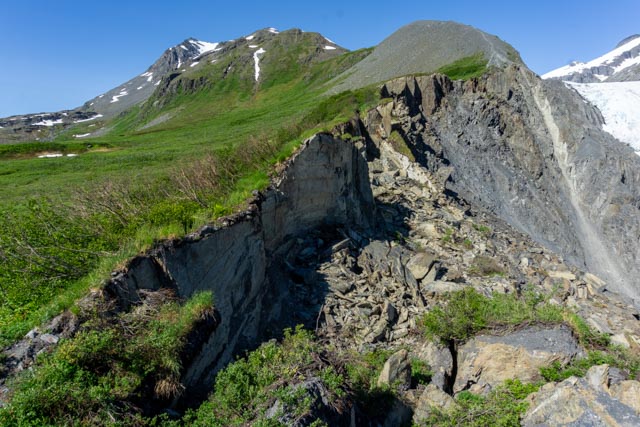
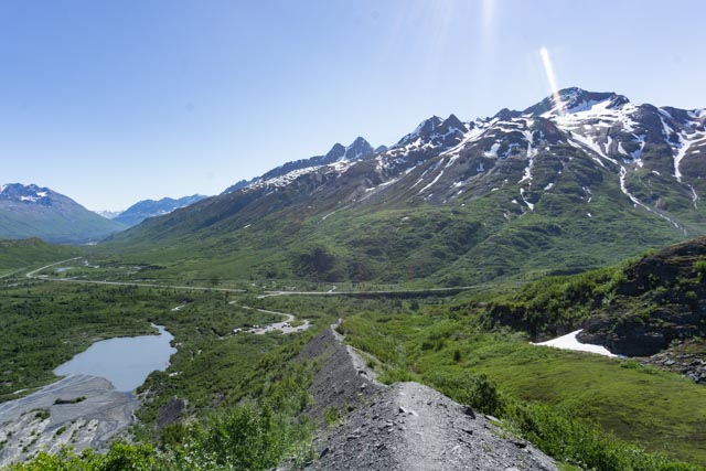
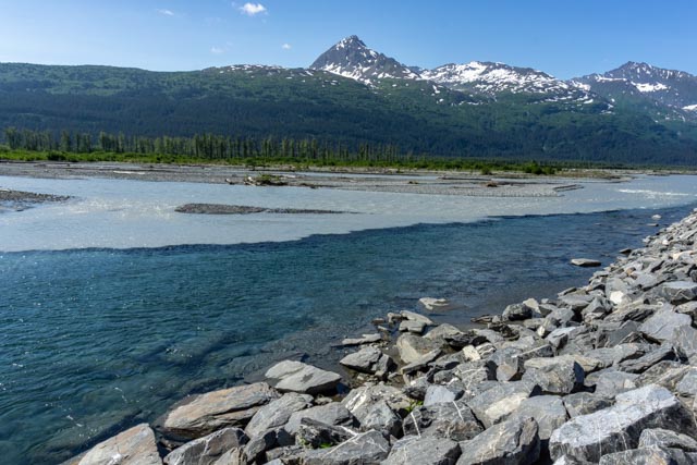
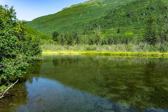
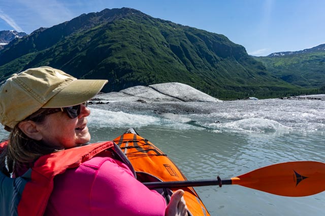
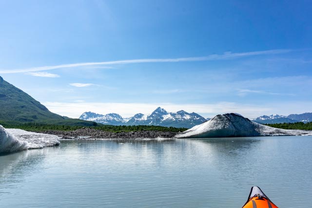
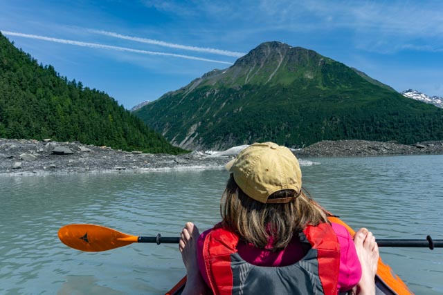
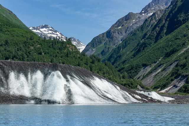
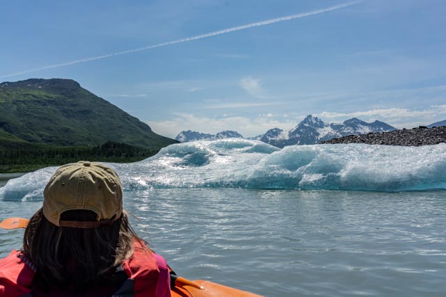
One our way to Valdez from Kenny Lake, we stopped for a moment to view the Worthington Glacier. I spotted what looked like a trail up the left side of the glacier.After setting up camp in Valdez, we headed out to Dayville Road to see if the salmon were running. This waterfall is across the road from the Soloman Gulch Fish Hatchery.We headed out Mineral Gulch in the truck but we turned around after the road got very muddy and narrow. We were told that a landslide had covered the road about eight miles in but we only made it about two miles before turning around. I would return with my motorcycle in the morning. I passed this snowbank on the way in on the motorcycle, crossing a washout at Horsetail Creek stream that was a couple of feet deep. I wound up with boots full of water.The further in I got, the more gorgeous the views became. But the roads kept getting narrower and muddier. And there was snow starting to build in shady places on the road, now trail.I hit the final snowbank about seven miles in. I hadn’t seen anyone else in here for the last five miles. Since the snow covered the road and led to a cliff straight down to the river, I chose to turn around at this point.I crossed this small snowbank, getting stuck the first go-around because I was going too slow. I sped it up and used by legs as outriggers and made it across, (just a little sideways).The views coming out were unbelievable, the mountains here are actually behind Valdez. The road follows Mineral Creek.Because of the recent rains and heavy snowfall, waterfalls in the canyon were plentiful.This is a panorama taken from the small boat harbor in downtown Valdez. It is like being in a little Switzerland.In the morning we returned to the Worthington Glacier and I was going to go up the “trail” that I spotted previously.After bypassing a couple of warning signs and closure signs, I found myself alone on the “trail”. The route was very steep, with shear fall-offs on both sides. You don’t want to stumble here.As I neared the top of the glacier, the views of the landscape were remarkable.This is my endpoint of the trail. What I had spotted from the highway turned out to be a rockfall, across a steep, shear canyon that was at least 100 feet deep. I am not a rock climber so I chose to take the gimme and turn around. There were bear warnings near the base and the view from the trail was perfect bear country. I kept scanning the hillside but did not spot one. Perhaps it was too late in the day.The cliffs and rockslide that ended my quest for the top are pictured above. The edge on the left was extremely thin and unstable.This is the view from the (almost) top looking down at the parking lot. It was beginning to fill up. Cathy is down there somewhere. I did not know there was a lake here until I looked back down the trail.Heading down, I was careful not to slip frontwards, backwards, or to either side. On the way back to camp we spotted the neat mixing of colors on the river while exiting Keystone Canyon. The grey water is glacier melt on the Lowe River, and the clear water is a stream coming down a granite canyon.Across the road from where we stopped we spotted this beaver pond.In the morning Cathy and I took the kayak out to Valdez Lake. Two years ago, only weeks after Jason and I kayaked on the lake, the Valdez Glacier, over twenty miles long, had a massive calving, spewing city block sized chunks of ice downstream, killing several kayakers that were in the lake. After reviewing the new safety videos provided by the state and local authorities, we decided to get up close and personal with the ice on this visit.The main body of the lake was like a tangled mess of icebergs. What looked to be clear passageways might only be inches deep. It would be easy to get lost in the maze. We could see both the Valdez Glacier and the Camicia Glacier from the lake.We spent the better part of the day exploring the icebergs and you don’t get too many chances to do this.Ice, and more Ice.The scenery was incredible, with the mountains in the background. . Everywhere we went there was ice. We either followed others to clear passageways or others followed us to clear passageways.Cathy is looking up the canyon where the Valdez Glacier is, now about a mile upstream.Some of the ice chucks were massive, this one is about 50 feet tall and covered with years of sediment, rocks and dust.Cathy is looking out past the ice into the mountain range behind Valdez, in the Chugach National Forest.It looks like Cathy is holding the ice form but she is actually taking a picture with her phone. I am taking a picture of her taking a picture. I did achieve my goal of swimming with the ice. While exiting the kayak to get on a landform, my lifejacket caught on the kayak and in I went. All the way in. My automatic lifejacket works, it activated and floated me to my feet, then the other side popped (activated and sent me back in). I wasn’t too cold once I climbed on shore. Lie! It was COLD. Now we have to find another life vest for the rest of the week as I will not be able to get the vest charged until Anchorage.
Now I guess I can tell Cathy – The lake is over 600 feet deep.