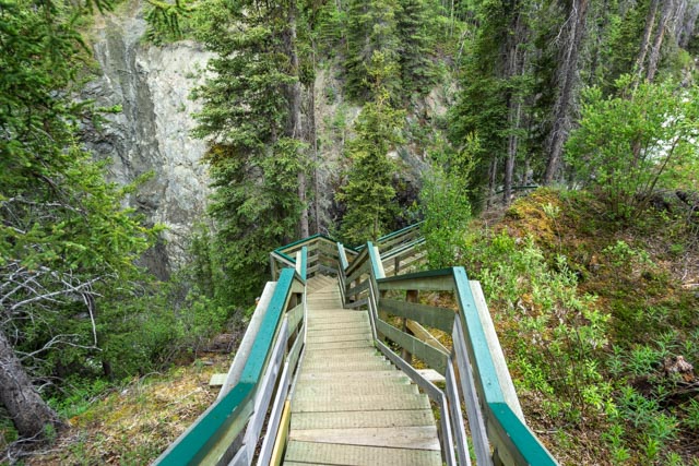
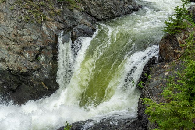
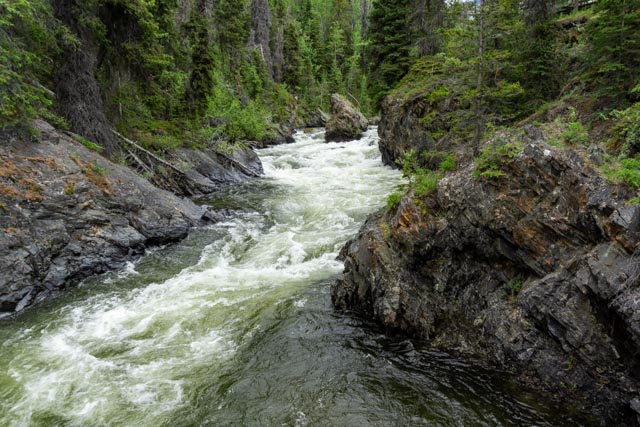
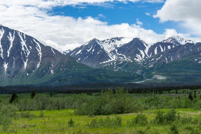
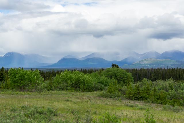
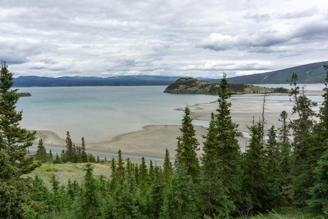
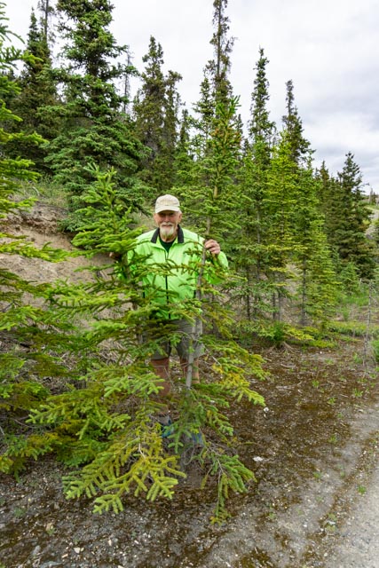
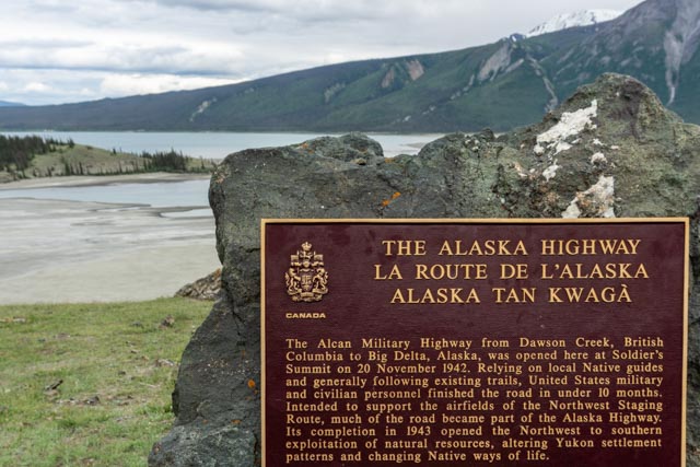
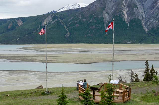
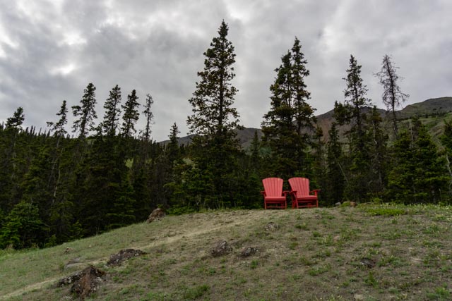
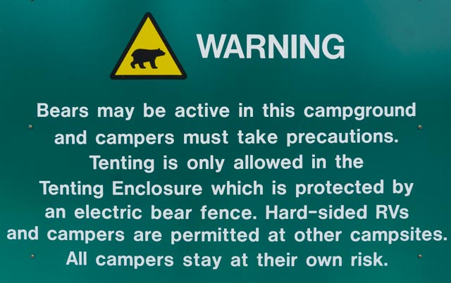
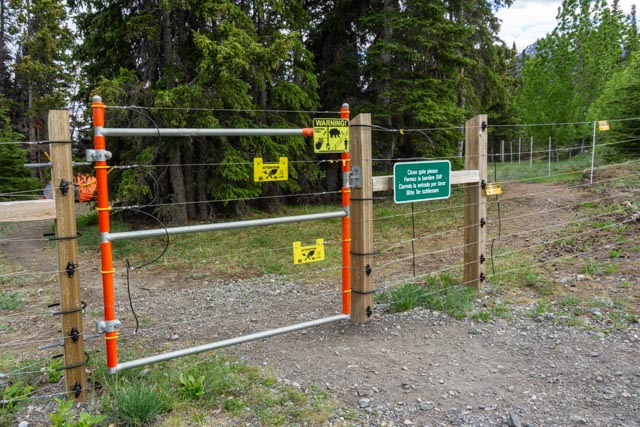
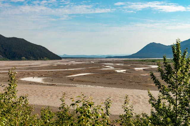
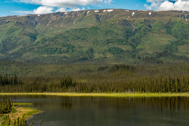
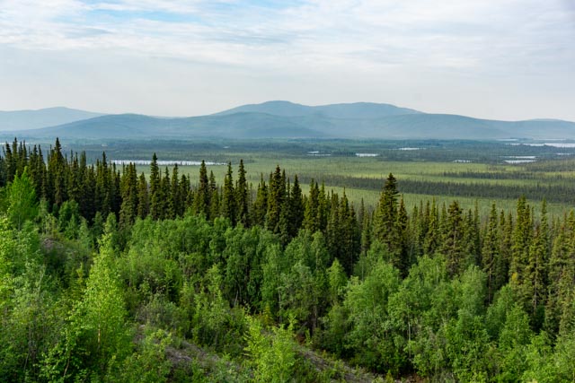
While at Haines, I talked with a couple who made the walk into Million Dollar Falls. They had a 14 foot motorhome and told me that the road was very narrow, their motorhome would not make it so they walked in from the highway, but the view was well worth the walk. We had heard the same thing so we skipped it on the way in, but decided to make the walk on the way out of Haines. I saw the entrance and it did look too bad, so we decided to try and drive in. The road was far better than what we have been experiencing and we drove through the park, past the walkers who left their cars on the highway. The stairs down to the viewing area of the falls were the hardest part of this side trip!This is Million Dollar Falls.The water flowed down the canyon and into the falls.I tried to capture the alluvial field running out of the canyon between the mountains. It was about five miles away and resembled a river.I took one more photo of the Kluane National Park. It was raining in the distance, across Kluane Lake.This is a photo of the original Alaska Highway, cutting diagonally up the mountain, taken from the Slims River Bridge. The Thachal Dhal Visitor Center is to the left of the photo. It was closed by the time we reached this area. This is the base of Thachal Dhal. It was formally called Sheep Mountain, but many sites are returning to their traditional First Nations names.It is a lovely view of Kluane Lake from the monument at Soldier’s Summit.Hiking up to Soldier’s Summit, I was playing with the miniature trees.Cathy read the history of the Alaska Highway while I was up the hill, sitting in……these. Provided by Parks Canada, most viewpoints are furnished with similar chairs.This is the view of the nearby mountains that provided the watershed for Kluane Lake.Yes, we are in bear country. If you camp in a soft-side enclosure (tent); you are supposed to stay inside this electric fencing.The campsites provided a platform on which to pitch your tent and lockers for food storage. It is almost like being in a prison environment, but relatively safe from bears. We spent two nights in this campground but we were by ourselves in the motorhome.We spent two nights at Discovery Yukon. This is the junction of the White River (foreground) and the Donjon River. The White River was named by Robert Campbell (of the Hudson’s Bay Company) for its coloring, caused by volcanic ash.These ponds were everywhere. Cathy spotted a grizzly bear and a moose while camped near here.We saw a couple of orange neck egrets on a nearby pond. She is sitting on a very large nest.There is a section of highway that is “off limits” to the Yukon Highway Maintenance crews. This section if being monitored by scientists for the effects of the permafrost and the movement of earth (and highway). The road over this section was very rough, with highway “snakes” (cracks in the highway that could be up or down as much as a foot). We were warned by a Yukon Highway worker to be on the watch for these in this area.I had to take another photo of the landscape as we approached the border. These miniature trees are really captivating, at least to me.We saw many lakes and ponds dotting the landscape. After crossing into Alaska, we made a stop at the Tetlin National Wildlife Refuge Visitor Center. I was seeking information on Northway, an Athabascan settlement. We decided not to attempt the side trip after talking with an Athabaskan docent at the center. She told us that she moved from Northway due to the military dumping hazardous materials and the prevalence of cancer in the community.The view looking from the deck of the Refuge Center was breathtaking.