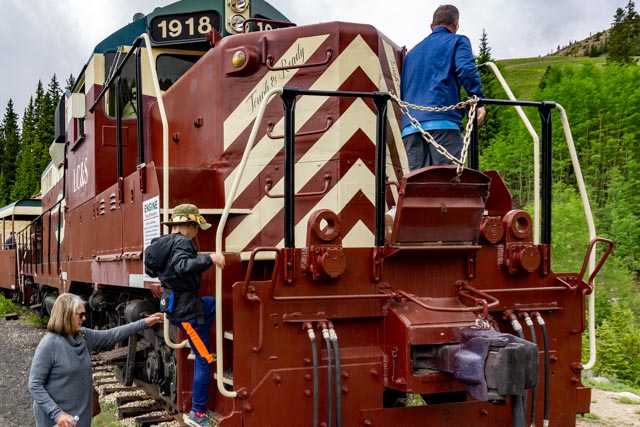
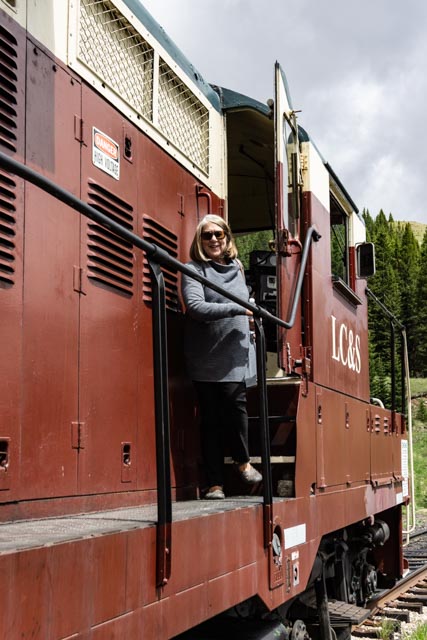
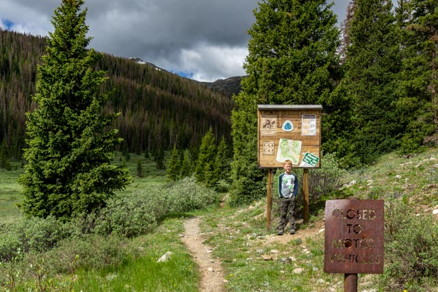
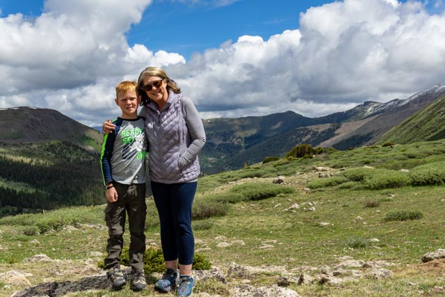
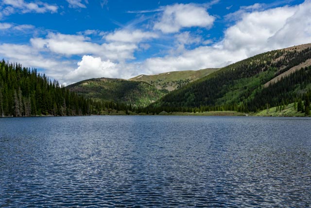
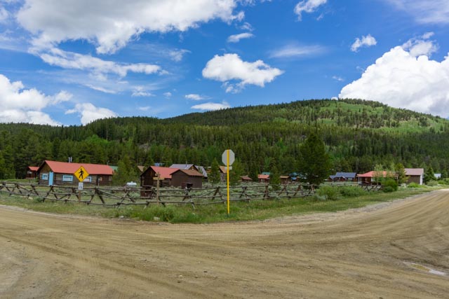
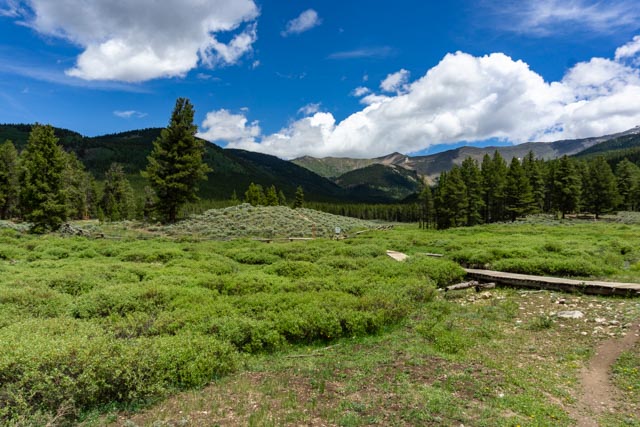
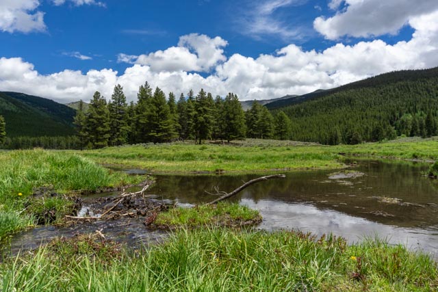
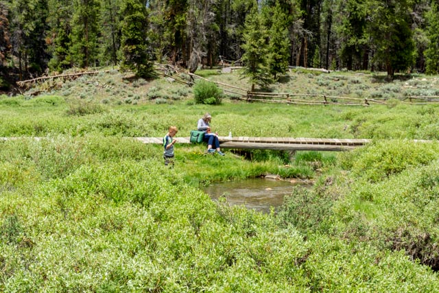
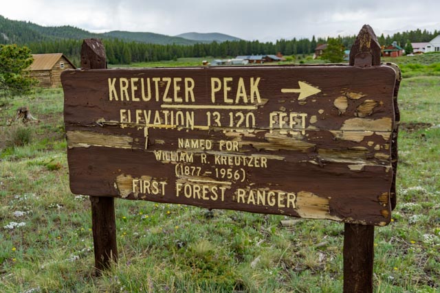
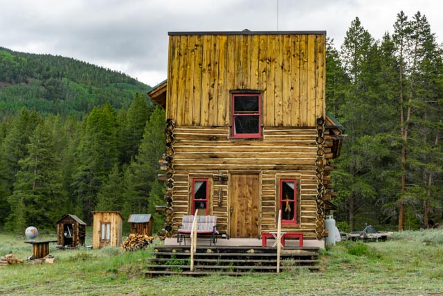
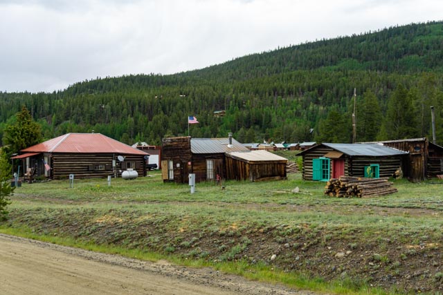
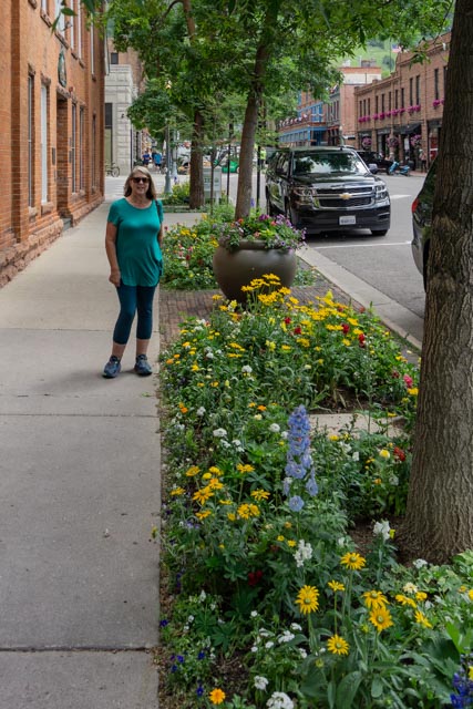
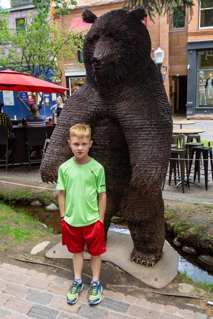
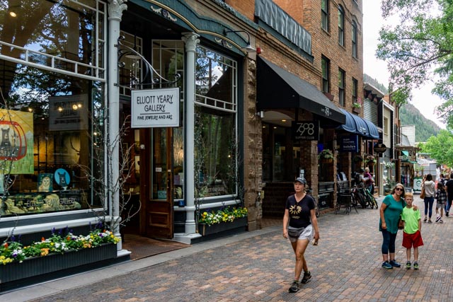
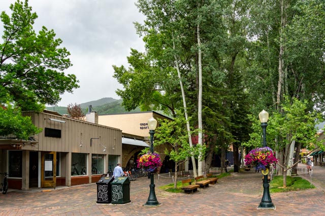
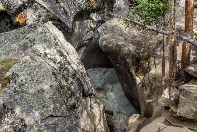
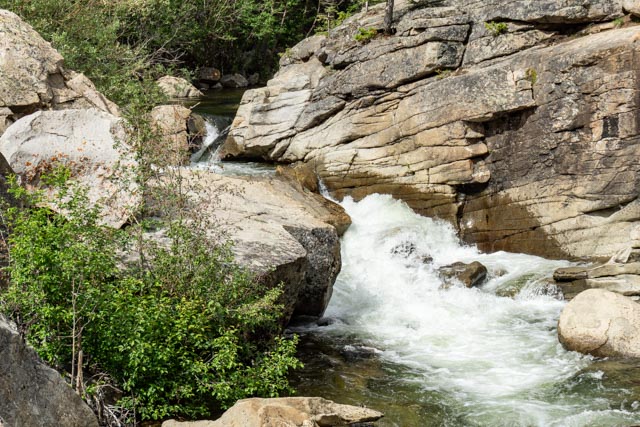
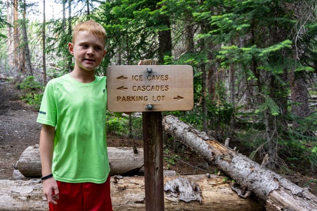
We took the Leadville, Colorado and Southern Railroad from Leadville to the Continental Divide and back, a trip lasting about 2-1/2 hours. We followed the old Denver, South Fork & Pacific roadbed and the Colorado & Southern roadbeds to reach the pass. Here we are going up the hill with the engine pushing us. The hills above us were damaged in a forest fire a couple of years ago.Here we are heading back down. This is the tightest turn on the trip and the train has to go very slow to keep on the tracks.You can see two of Colorado’s tallest mountain peaks in the range at the end of the valley, Mt. Massive and Mt. Elbert. We were almost 1,000 feet above the Arkansas River Valley.Jason and Cathy headed into the engine to take a look.After imparting his vast knowledge of the art of driving an engine (Jason does have years of experience with an electric train) they exit the engine assured the the engineer now has the fundamentals to continue to town.Cathy is just relieved to be out of the small cab. We rented a small Jeep to make the trip up and over Tin Cup Pass north to Cottonwood Pass, then back to Buena Vista. It was a nice 4×4 road and I could have done it in my truck but really wanted to see if there is any difference between the Jeep and the Ford.We stopped at the Continental Divide trail crossing. It rained a little in the lower elevations causing some muddy trail but as we go near the pass we ran into fresh snow.The snow was still in place but disappeared once the sun had a go at it.Cathy and Jason stopped on top of Tin Cup Pass, about 13 miles from the ghost town of Saint Elmo and 12,154 feet in elevation.Jason got ready to take a trip up the mountain but we were able to keep him near the Jeep.The road ended at Mirror Lake. I waited for some others to go ahead so we could find the trail. We actually drove a bit along the shore, fortunately it was not too deep. There were fly fishermen in waders that had to move to let us by. Evidently the lake doesn’t usually get this high.That’s the red hood of our rental Jeep.In the town of Tin Cup, we drove around for a bit of sightseeing then stopped at the only general store to get a “Tin Cup”. The cups they had looked Chinese so we picked up a glass whiskey 4 oz. cup, also probably from China also but it did not say.The town was very quaint and small, one store, one hotel and one campground. We drove to the cemetery and decided it was a nice spot for lunch. Cathy found the only headstone still standing way in the back of this area. I missed it on my first pass.The main part of the cemetery was across a couple of bridges but the surrounding meadows were beautiful.Somebody else was working on damming the creek . . . Cathy unpacked the lunch, Jason built his own dam in the creek, and I explored the immediate area. We were by ourselves!This was an interesting way of determining where the Catholics went . . . The surrounding mountains were 123 – 13,000 feet, giving us spectacular scenery in all directions.There were some pretty oldish buildings still standing and in use in Tin Cup.This is the residential district. We did see quite a few snow machines for winter transportation. When we returned to Buena Vista, I told the rental agency the jeep was a little “squirrely” so we kept the speed down. They did an inspections and found the front springs and shocks broken. They knew we did not do the damage and let it go. In the morning we headed up Independence Pass again with the intention of going all the way to Aspen, then looping back. Once over the pass, we saw these old ranch type buildingsAcross the road was an abandoned mine. There were mine remnants everywhere you looked.We made it to Aspen and it was not what we expected. It is very cosmopoliton with Rodeo Drive type stores. We drove out to find another way out of town (there wasn’t any) and happened by the airport. Dozens and dozens of private jets, with about 12 Gulfstreams in a row. We have never seen that many private jets lined up!We did walk the town and it was beautiful but crowded.Jason found this tin bear sculpture in one of the byways.We are not on Rodeo Drive or NYC! This is country . . . Once the rain started the people disappeared. Well, we can still get wet so we walked back to the truck.We stopped at a little park along the road on the way back and decided to take a walk in the woods. Jason is charging ahead and young’ns do. We headed back up the pass and found these ice caves, where snow is compressed into the depressions and lasts most of the year. This is the top part of the “cascades” along the trail.This is the bottom part of the “cascades” that we hiked to.Jason posed at the trailhead, he is ready to go back.