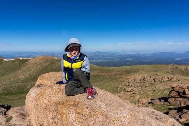
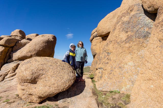
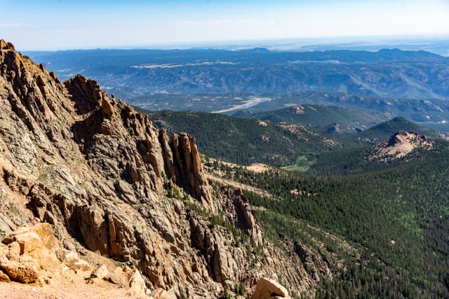
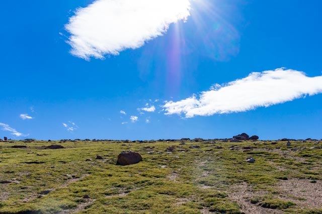
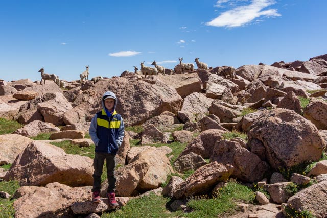
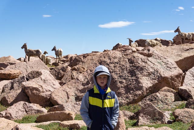
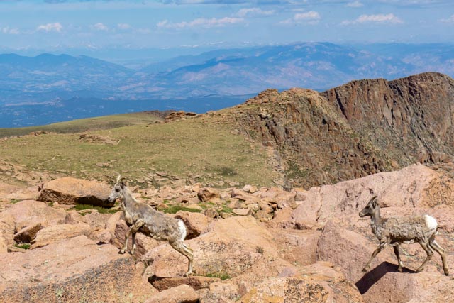
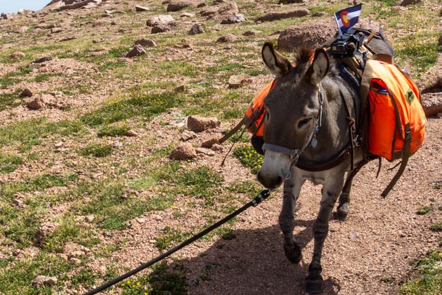
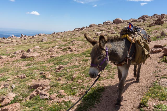
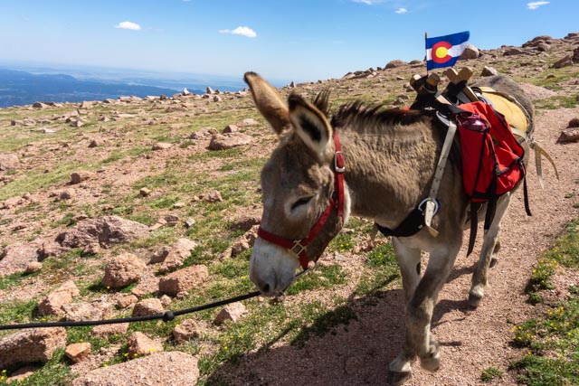
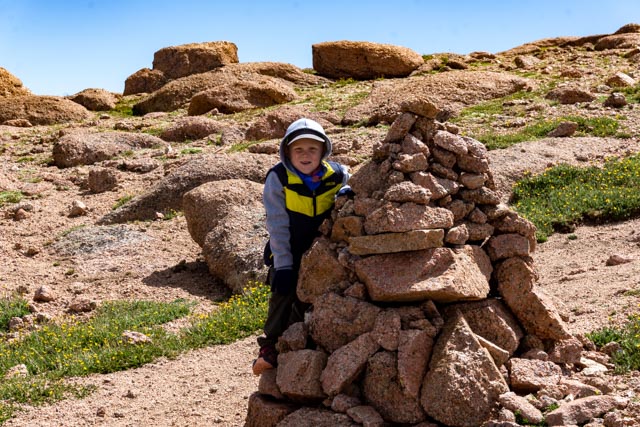
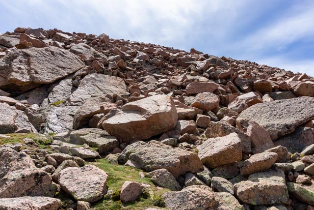
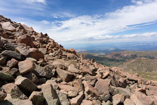
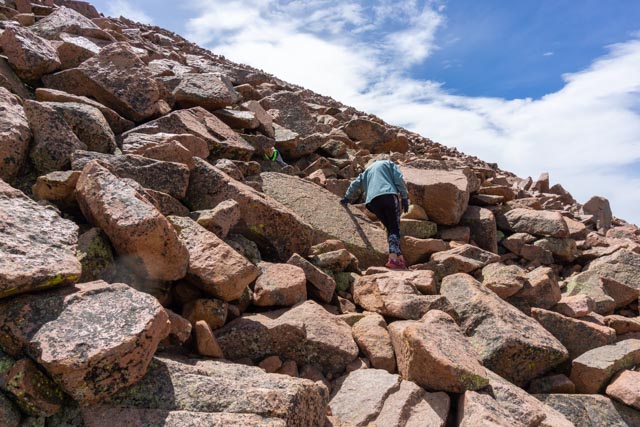
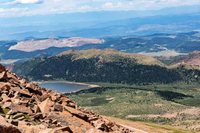
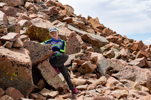
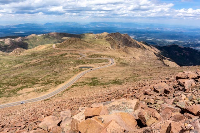
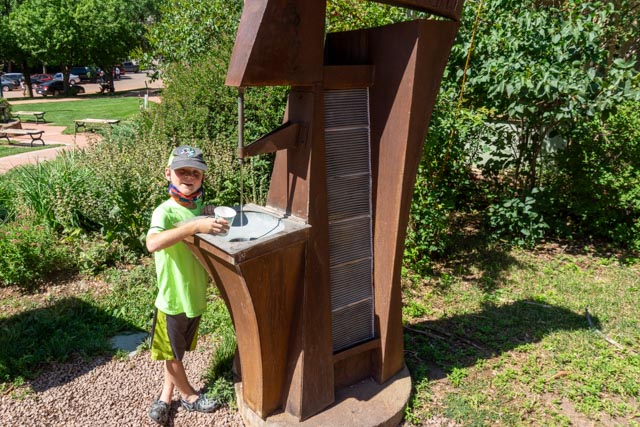
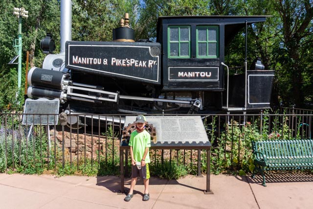
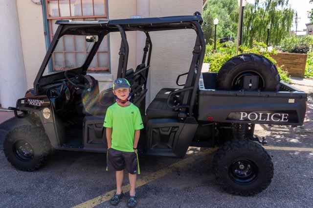
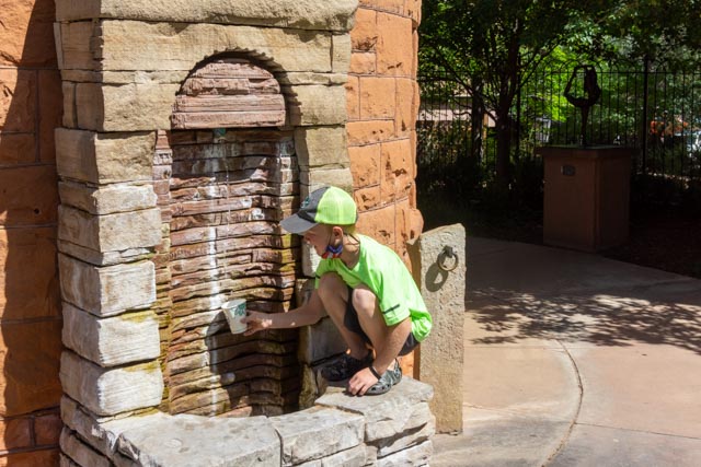
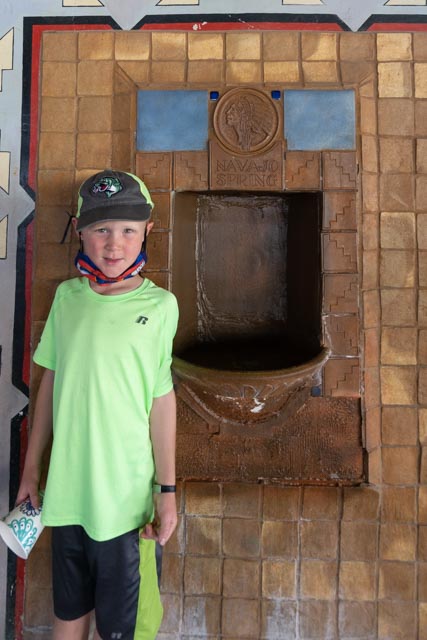
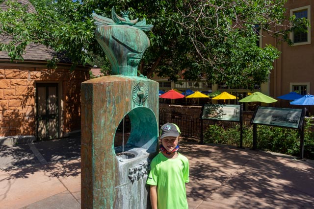
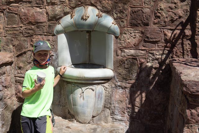
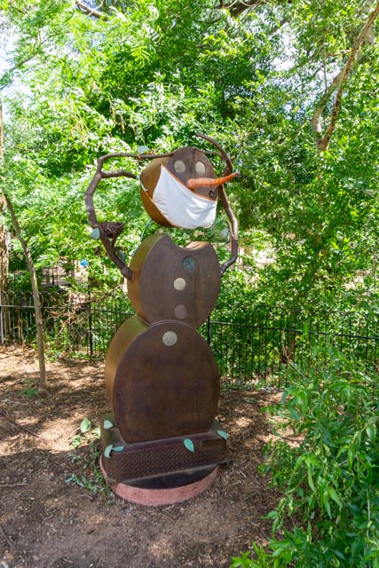
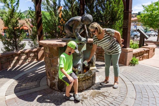
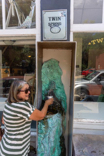
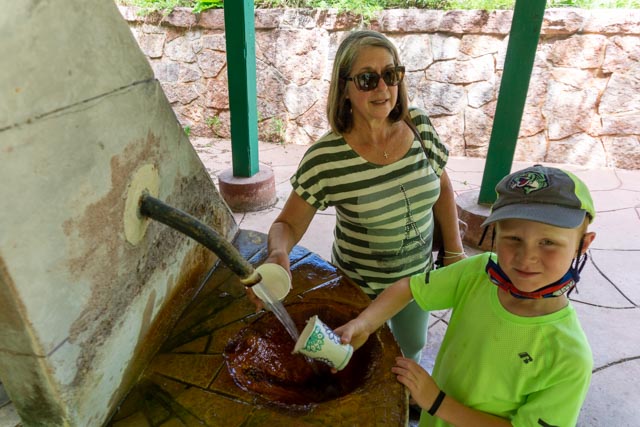
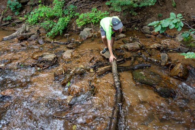
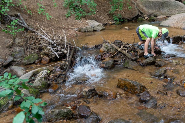
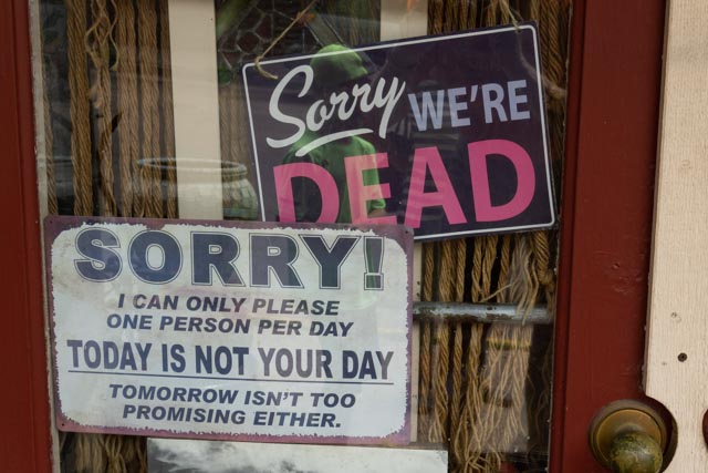
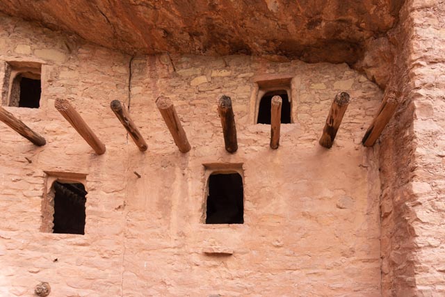
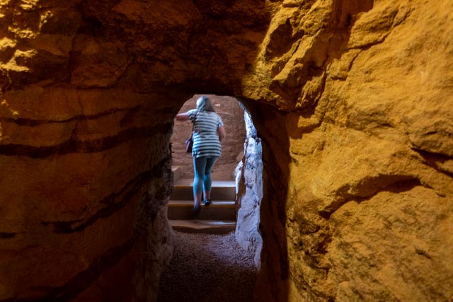
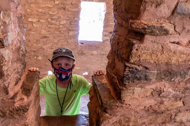
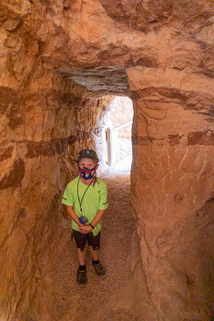
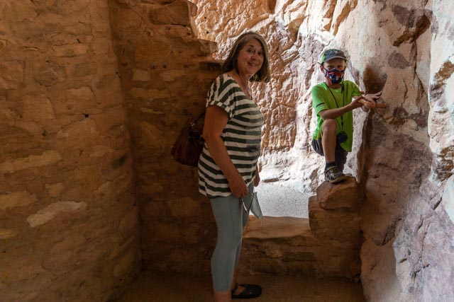
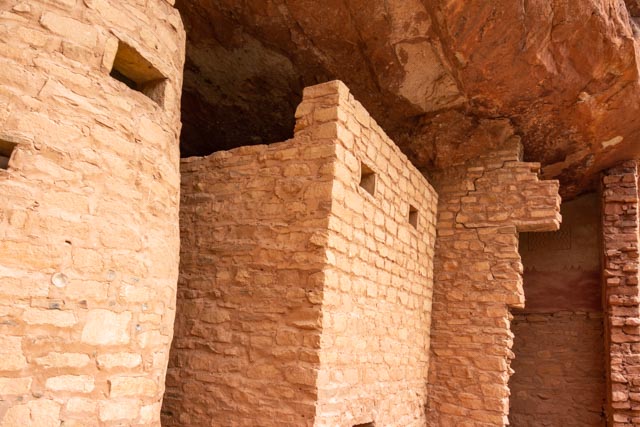
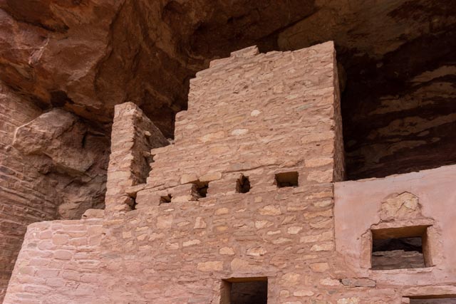
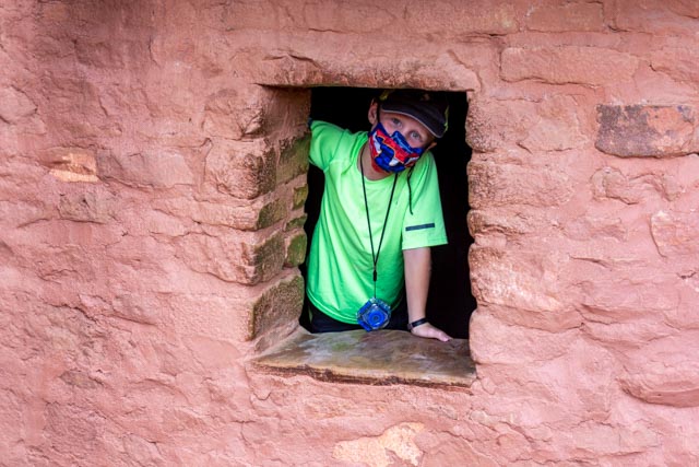
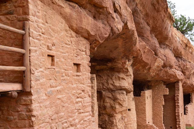
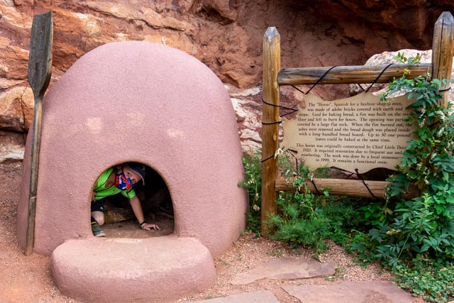
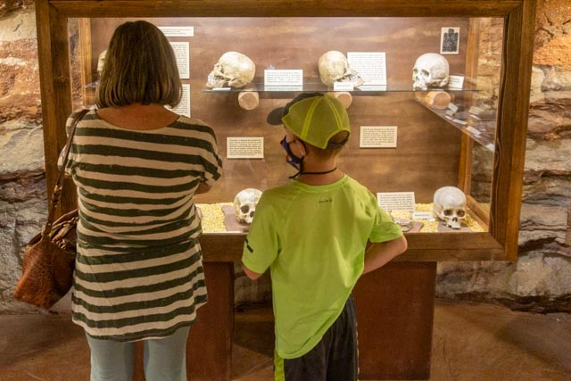
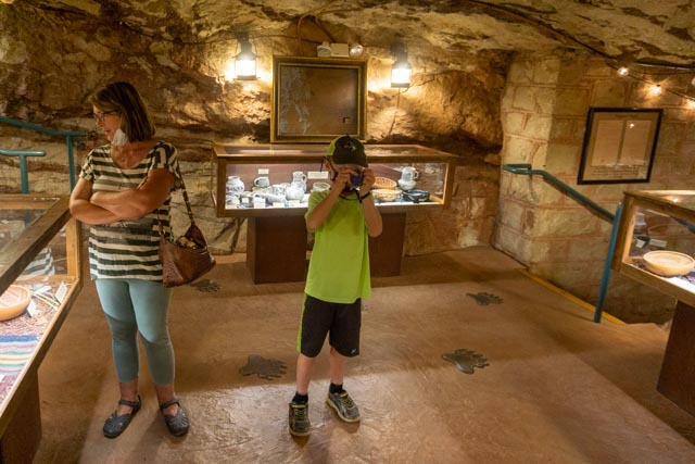
We drove up to Pikes Peak on the Pikes Peak Highway. The road is closed to the top so we had to park at “The Devils Playground”. This areas was named as such because of the numerous and frequent lightning strikes in the immediate area. Jason, Cathy and I climbed the nearby “Devils Playground Peak” to an elevation of 13,070. This marked the highest point Jason has climbed so far.Cathy and Jason goofing in the rocks on the way down from the summit.Reaching our truck in pretty good shape, we decided to take the hike from the “Devils Playground” parking area up to Pikes Peak, a little over three miles.The trail started out nice and easy, the climb was slow and steady. This is the view looking up the hillside on the way to Pikes Peak.As we entered the boulder-field at the base of Pikes, we ran into a large grouping of mountain goats. There were about thirty, including a lot of mothers with young goats.Jason was a little concerned when several of the large mama goats began to stare at him.We watched them for a while until they started to move. It still amazes me how agile these animals are on the rocks.Next we met these three donkeys coming down the trail. The were all sporting Colorado flags.Jason became our trail finder as we entered the boulder-field. These cairns marked the trail and sometimes you would have to make a 180 degree scan to find the trail. You could easily get off trail in the boulder-field.This is a photo of the “trail” for the last mile up to the summit. It was a lot more difficult than we originally thought it would be.The “trail” got steeper and all of sudden you could not see the top of the mountain.Cathy did not plan on bouldering. She does not like steep drop-offs and boy did we have some, straight down to the roadway! We took several rest stops on the way up. Here you can see the Cripple Creek & Victor Mine in the distance. It looks huge even from here!Jason, waiting ahead at a cairn (to his left). The cairns blended in and were sometimes difficult to identify.We took one last look down the mountain with Little Pikes Peak (13,363 feet) in the center and our starting point in the second range of hills. The weather was starting to move in as we summited the 14,110 ft mountain. We made our way over to the gift shop to pick up some of their “world famous” donuts then we took the shuttle back down the mountain to our truck.On Saturday morning we went into Manitou Springs with the intention of locating and drinking from the eight mineral springs located in the town. This is Seven Minute Spring, originally named because it produced a geysering event every seven minutes.On our way to the next spring, we passed this original Pikes Peak Cog Railway engine. This engine was built in 1893 and was in service for 46 years. It is interesting that the engine chassis is built with an uphill slant to accommodate the steep grade of the cog railroad.We also passed the police department and got to see one of their rescue vehicles.This is Shoshone Spring. The round springhouse was built in 1893 and the water contains the highest mineral content of all the downtown springs.Next was Navajo Spring, located inside an arcade area. It was currently dry.Next we found Cheyenne Spring, another artesian soda spring developed in 1893.This is Wheeler Spring, named for Jerome Wheeler, locally famous for banking, mining and railroad interests.We passed this guy when we were crossing the creek back into town. He is Covid compliant!This Stratton Spring was located downtown and was named for Winfield Scott Stratton of Cripple Creek mining fame.This spring was a little harder to spot, it is alongside a building on Ruxton St. It is known as Twin Spring as two different flows of mineral water combine before surfacing.Our last spring, the Iron Spring was located up Ruxton Street near the Cog Railway. It was very iron-rich and was our least favorite. It is housed in the original pavilion and used to be very popular with the townsfolk.Jason had to take a minute to get wet in the creek behind Iron Spring. He saw a trout and spent some time trying to catch it!On the walk back, down Ruxton Street, we saw this sign in a closed antique shop. This is the second shop where we saw signs like this!After lunch we decided to visit the Manitou Cliff Dwellings.The dwellings were rescued from destruction near the four corners area and reconstructed in these cliffs near Manitou Springs, opening to the public in 1907. They date from 1100 A.D. to 1300 A.D. They represent the finest architecture of the Anasazi Culture found in the New Mexico and Colorado area.Unlike other cliff dwellings we have visited, you are allowed to touch and feel this one.There were several very narrow passageways between rooms in the dwellingsThe building are original, just moved to this preserve for safekeeping.Here are more of the narrow passageways. We let Jason roam the building freely and he enjoyed finding all of the passageways and small rooms to explore.He got a little carried away when he made a fort out of a bread oven!After spending time at the ruins we visited the museum on site. Here he is fascinated by the differences in skull structure, dictated by the way the babies were carried on scabbards.I took a picture of Jason taking a picture of me. In the museum of course!