We left in the morning for our planned Lower Paddock Creek hike but the road leading to the trailhead was washed out due to recent rains and was undergoing repair. We had to formulate a backup plan. We returned to the Peaceful Valley trailhead and proceeded on what we though would be a fairly simple trail hike.
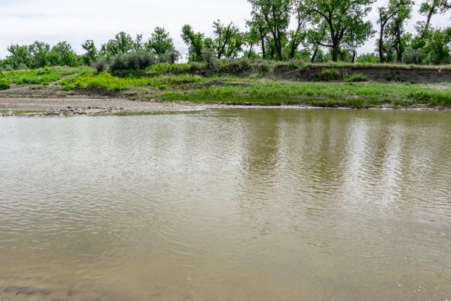
Our first obstacle was the river. There was no bridge so we had to wade across after locating a fairly level spot. We spent about an hour trying to barefoot it on the broken rock and finally decided to put our hiking shoes back on to ford the river.
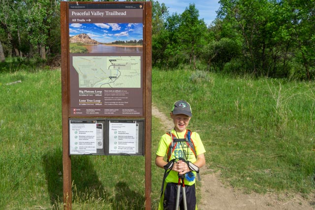
Jason spotted the hiker registration box and signed in.

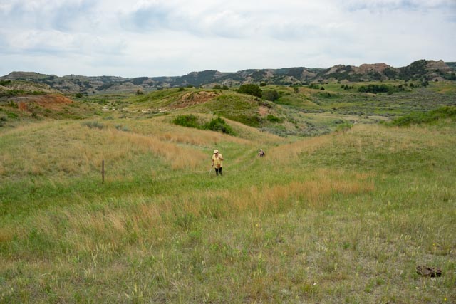
After getting our shoes soaking muddy wet, we continued hiking to the Ekblom Trail Cutoff, which led us through a prairie dog town.

We spent too much time watching their antics as we were the only ones on the trail. We actually got to within about five feet from one who would come up from its hole and gather some trail mix that happened to fall near the mound.

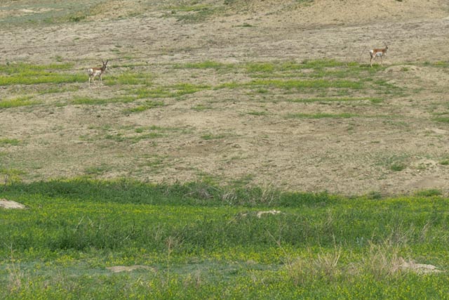
While leaving the prairie dogs, Jason spotted four pronghorns watching us from the nearby hillside.
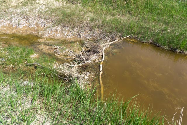
We had to cross a couple of muddy streams, this one happened to have a beaver dam holding back some of the flow.
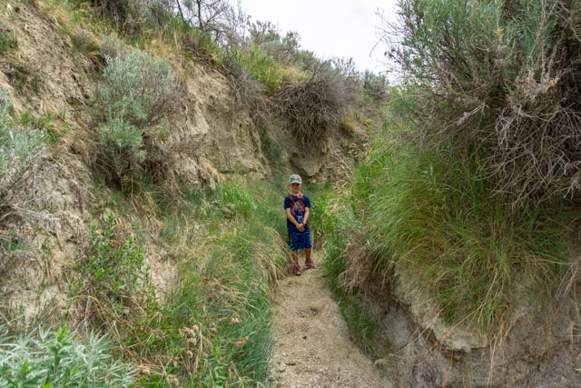
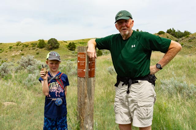
We reached the Ekblom / Maah Daah Hey trail fork in about two miles. At his point, Jason’s daypack strap broke and we had to do some temporary fixes to continue. You can see the missing left strap below.
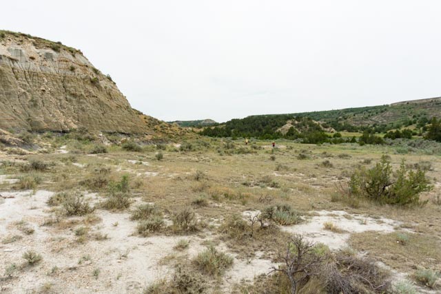
The Ekblom Trail was well marked but the Maah Daah Hey Trail was non-existent south of this marker. Evidently it has not been well traveled this year. We bushwhacked between game trails and trail markers for the three+ mile hike to the I-94 trailhead.

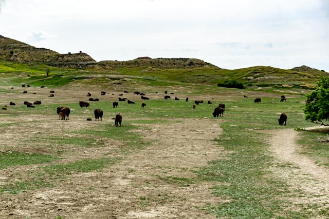
After climbing the hill we looked back at the ridge above the prairie dog town and noticed that there was a herd of bison heading towards the town where we lingered a half hour before. Boy, are we glad we kept going! We spotted a hiker that saw the scene before him unraveling and walked swiftly back to the river crossing.

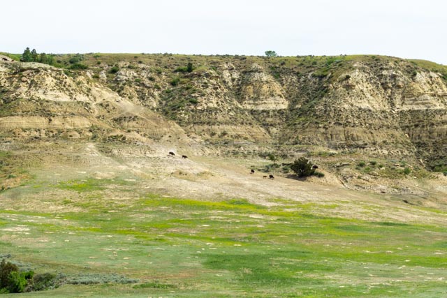
They were headed for the spring to the right of this photo. There was a couple of containment vessels connected with pipes, but somehow the pipes had become disconnected the the water was flowing in the gully. The bison sure knew where to find water.
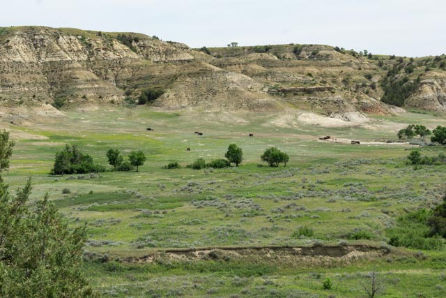
Back to the trail, we found this bison trail leading up this small valley, then into the river valley below.
Yes, the bison were using this portion of the trail on a regular basis. We spotted several grazing near the river.

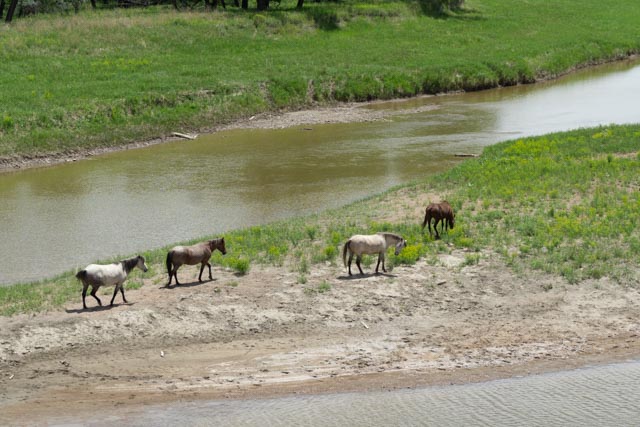
Looking upstream, we saw a small group of feral horses keeping cool in the water.

We lost the bison trail again and continued bushwhacking the Maah Daah Hey Trail towards the trailhead (which we knew was at Exit 24 on the Interstate).

We found another bison trail leading through the grasslands. Up around the bend to the right a surprise was waiting!

This big guy was dead center in the middle of the trail and we choose to give him a wide berth. We walked halfway to the river to go around him.

We spotted a second grouping of feral horses as we were approaching the National Park boundary.
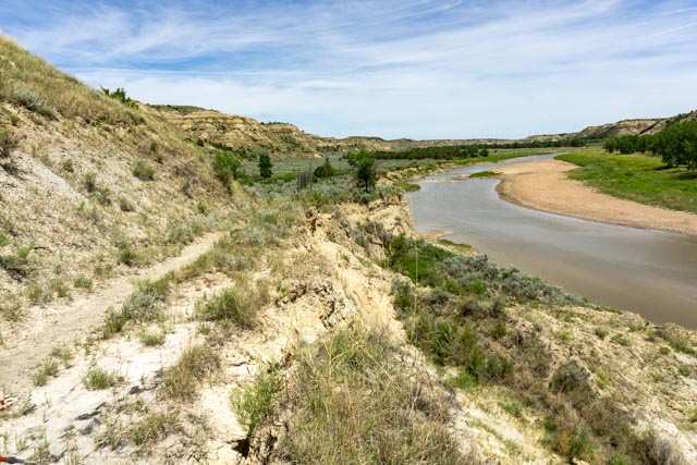
Looking back to where we had come from, the trail drops off sharply to the river below.
We were later than planned, due to some unexpected trail blazing and detours but I was able to text Cathy with an update once we got back in cell range. Cathy was waiting at the trailhead to take us back to camp. We made sure to stop at the local market to get Jason a sarsaparilla for completing the hike.
Next Day:
We prepared to hike the Lower Paddock Creek Trail Tuesday morning, but when we got to the trailhead a bison herd had moved in. We talked with a couple of backpackers from Ohio who had just returned to the trailhead. They had to call the park rangers the night before because a large bull had taken over their camp. The rangers arrived and ran the bull out of their camp and they made it through these guys while they were still arriving this morning (the last two stragglers walked past us as we were talking).
We tried to sneak around them through the brush and a ravine to the right but alas, there were a lot of bulls resting in our path. We gave in and moved to a different area about two miles east and hiked the Painted Canyon Trail (about 4.2 miles with 2000 ft elevation change)
We saw a bull ahead on the marked trail, less than a quarter mile in and detoured cross-country to avoid him. He kept an eye on us while we made sure to avoid him. We rejoined the trail about a mile later. We made it to our destination but Jason was getting worn out. We met two other backpackers from Washington State who had just finished the Coal Vein Trail and were returning to their campsite across the wash.
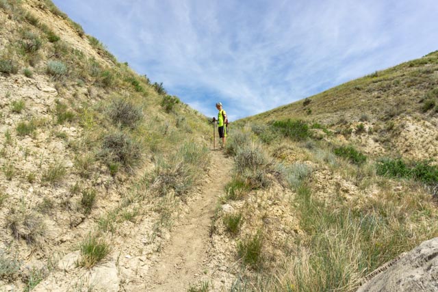
This is Cathy on the marked trail with Jason taking a breather before the final push to the turn-around.
Here is the Painted Canyon from ground level, after descending more than 1000 feet.

Cathy and Jason stopped at the junction of the Painted Canyon Trail and the Upper Paddock Creek Trail. Jason is holding an antelope foot (don’t ask).

And here is another photo with Jason and his odiferous antelope foot.
We did have time to stop and smell the flowers cacti . . .

We hiked across some rare flatland on the return. We took the marked trail back, keeping an eye out for bison. We did spot one but he was a safe distance away.
Looking back down the trail to the left of this photo, this was a very steep section leading up to the bluff. We had hiked from beyond the hills in the background.

We made it back to the trailhead exhausted and saw the two backpackers from Washington arrive shortly thereafter, spry and chipper. Damn, just damn, we were beat! Well, we made it to the general store in Medora in time for ice cream.

I’m sure glad you know where you’re going! Natural navigation is one of my supreme weaknesses. You all are seeing the West like real explorers. Thanks for sharing the story and pictures with us. All is well here but cool.
LikeLike
It is sometimes a challenge to keep up with the closures but we have the luxury of time . .
LikeLike