We left Cache Creek in the morning and backtracked to Canadian Highway 99, known as the the “Sea to Sky Highway”. This would be a new route for us as we had previously traveled the typical, straighter and faster Canadian Highway 1. We were about 20 miles up the highway when we were stopped due to a truck accident. Unfortunately, the truck was completely disabled and blocking the entire roadway. The white truck in front of me was the first on the scene and had already called for a tow truck. When the tow truck arrived, the straight truck was pulled to the inside lane, allowing us room to pass through. Before we could get through, the RCMP arrived and then an ambulance. There were no injuries.

We made a quick stop at this lake, as the water was crystal clear. This is Turquoise Lake, located within Marble Canyon Provincial Park.

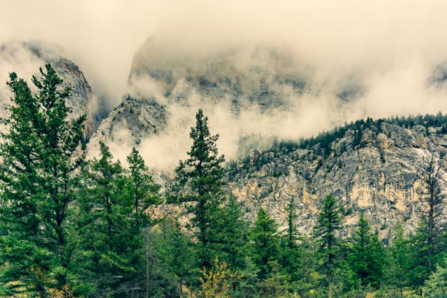
Looking across the highway, the weather was creeping in on us.
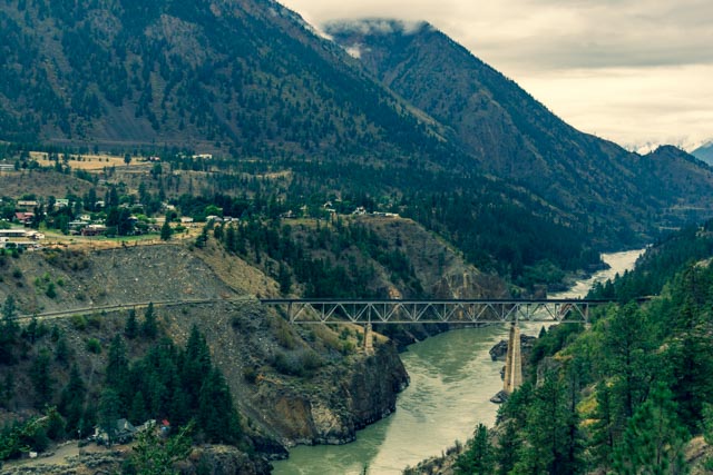
This is looking down at the town of Lillooet, located on the Fraser River at its confluence with Cayoosh Creek. This town holds the record for the highest temperature ever recorded in Canada, at 111.9 degrees, set in 1941. Lillooet is one of the oldest settlements in the province, and at one time was the largest town in North America, west of Chicago and north of San Francisco. It is also the terminus of the first road built in British Columbia. There was a wealth of gold mined from the main street during the Cariboo Gold Rush and the town became the supply hub for the Cariboo Goldfields,

We stopped for a short time at the Whistler Ski Resort, the alpine venue for the 2010 Winter Olympics and Paralympics. In the summer months, this area is well known for its golf courses. Whistler is a European-styled village with cobbled streets and pedestrian-only plazas. We had a little difficulty finding a place to park . . . so . . .
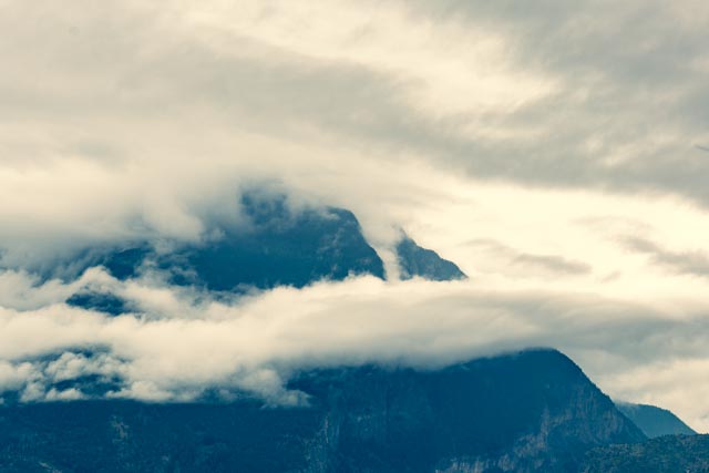
leaving Whistler we continued south and stopped at this viewpoint, approaching Vancouver, near Britannia Beach.
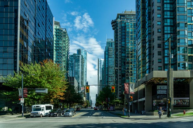
We continued on Canadian 99 through Vancouver. Downtown Vancouver! There were several events going on and we drove around the inevitable street closures and detours, but managed to find our way through town and on to the US Border at White Rock.
After spending the evening in small town of Lynden, we continued on to Whidbey Island and Oak Harbor. These were blackberries ripening on the vine. They were everywhere but luckily, there are no bears on Whidbey Island, not counting a possible swimming, island-hopping visitor.

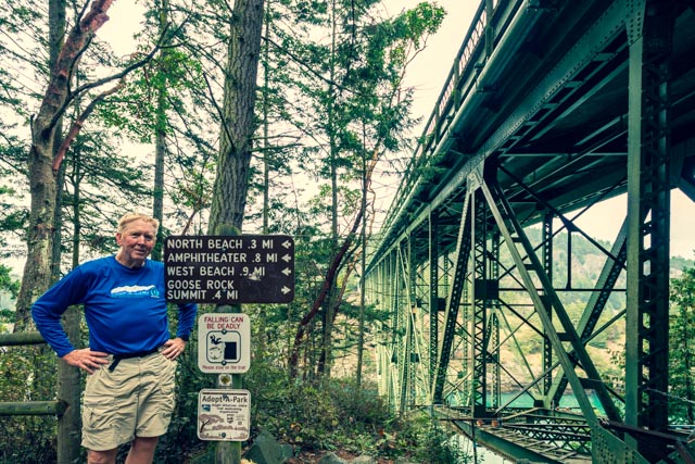
In the morning we drove a short distance to the bridge over Deception Pass and took these shots looking down to the water. The tide was going out as evidenced by the swirling water and the fishermen were lined up on the shore and in boats to try their luck at the silver salmon run coming in through the straights.
After walking across both sections of the bridge, we decided to hike the Goose Rock Summit Trail then, since it was still morning, we continued on the the Goose Rock Perimeter Trail, going around the base of the hill.

I caught a glimpse of Cathy below the bridge as I came back across. She was ready to hike, just not on the narrow walkway playing “frogger” with the passing logging trucks across the bridge.

The trail was well groomed and marked, but since it is of CCC era, the marked distances were a little off. The path became “undulating” right around this corner, and wet from the recent rainfall.

There were neat madrone trees interspersed among the much larger trees.

Nearing the summit, we climbed this glacier-marked rock outcropping.

Cathy stood by a madrone tree as we are leaving the summit for the perimeter trail.

We took a different route down, one which was much steeper in places.

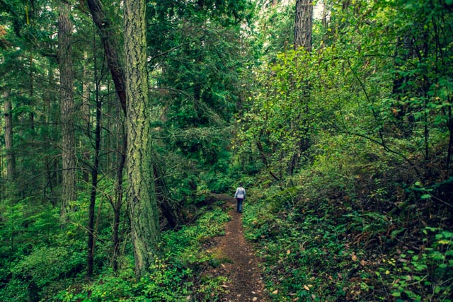
We hiked alone through the dense forest for the most part.
The rhododendrons were finished blooming for the season. It must be spectacular here when they are in full bloom.

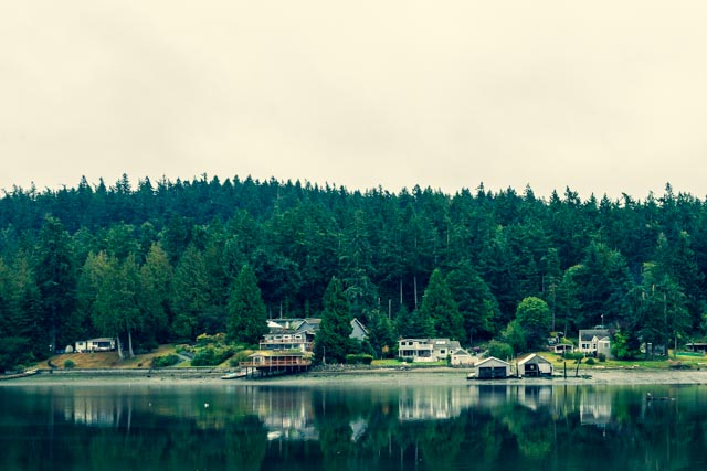
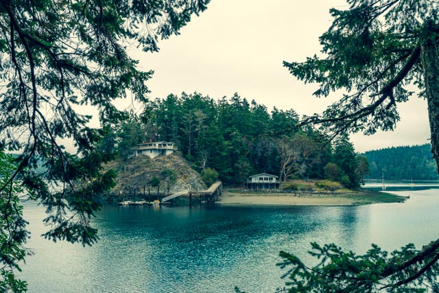
As we went around the island, beautiful homes came into view across the waterway.
You can see a pair of private homes on a small island with its own boat dock.
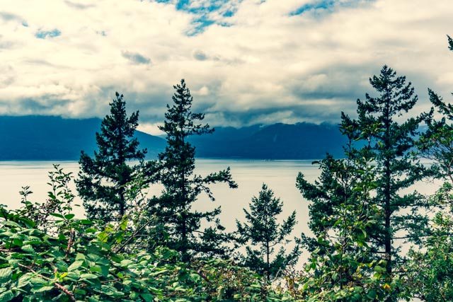
Looking out across the water, the view was inhibited by the low cloud cover.

Back at the trailhead and heading up to the parking lot, we had finished almost four miles of trail in solitude.
That night we were treated to an incredible dinner at the local hotspot for naval pilots, Flyers. Looking from the left, Myrna, me, Cathy, Barbara, Becky and Rich. Becky and Rich are in the process of building a home on the island on a very nice piece of land with lake access.

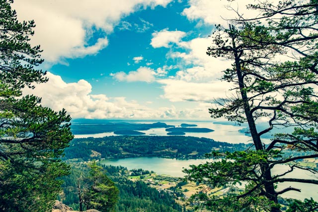
The next day Rich took us on a tour of the area, starting in Anacortes. This is the view from Cap Sante.
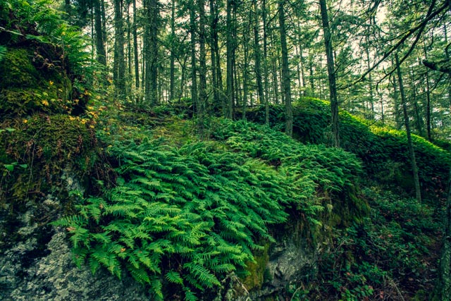
These were some of the ferns in the dense forested area near the parking lot.
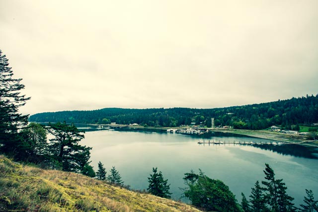
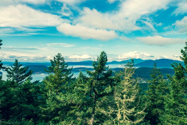
Here are more views from the top with the many small islands and waterways evident.
This is some of the moss draping from the branches of nearby trees.

Leaving the forested area, we headed to the beach in town. Oak Harbor is in the process of completing a walkway, green area, and children’s play park along the old waterfront. This gull came begging as we parked, and the black bird kept an eye on us as we walked by.


This is the view looking across the clear water to the island in the distance, from the Oak Harbor beach area.

We traveled to south Whidbey Island for lunch. We stopped in the quaint little seaside town of Langley and I was immediately drawn to Seawall Park, where I spotted these two totem, both carved by local artists.
The view from the beach at Seawall Park included the snow-capped Cascade Range in the distance.

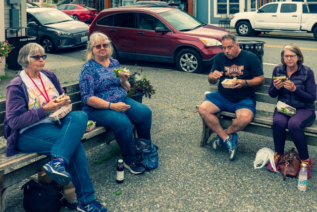
We decided to dine “al fresco” at the local delicatessen. Everyone seems pretty busy for the moment.
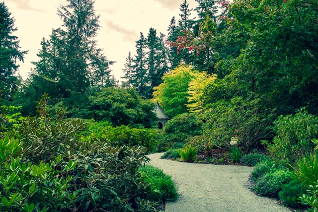
After lunch, we headed back to Greenbank to visit the Meerkerk Gardens. This was the entrance to the gardens, through the octagon-shaped covered entrance which had maps and identified the plants along the pathways. As you can see, for the most part the pathways were pretty well groomed. Maps? Who needs maps? haha
Meerkerk Gardens were founded by Ann and Max Meerkerk in the early 1960s and are located on about thirteen acres. They maintain a hybridizing site and many of the rhododendron species are specific to this garden. There were other plants and flowers among the myriad of rhododendron plants, bushes and trees. Sorry, I don’t know the names of most of the plants shown with the exception of the dahlias. The gardens were lush to say the least, and there were several view points of the surrounding waterways, freshwater ponds and many short paths leading to feature areas.
We would like to thank Becky and Rich for their hospitality and time. We really enjoyed the visit.
