Approaching Fairbanks, we had to stop at the North Pole and visit Santa’s Village. We parked in a shopping center and walked to breakfast, then continued on to the village, just down the street. Jason was in the dark until he saw the village!


We arrived in Fairbanks in mid-afternoon and after hooking up headed out to see the town, knowing that we would be picking up Michelle at Fairbanks International that evening. She arrived on time and we were heading to camp at midnight (sunset in Fairbanks) and were in bed by 0200.
In the morning we made our first stop at the University of Alaska-Fairbanks to visit their bookstore and museum. The bookstore is only open during school hours, and Saturday is not “school hours”. The museum is one of the best in all of Alaska and we enjoyed our stop there. This bison was found in solid ice and has been preserved relatively intact for thousands of years. It showed signs of being taken down by a lion (claw marks on the backside and a chunk missing).

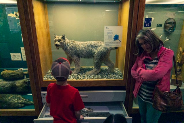
Cathy and Jason enjoyed the lynx, probably as close as we will get to one.
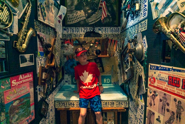
Jason found this “chair” in the artist section of the facility.
After leaving the building we stopped by the experimental farm to see the flowers.
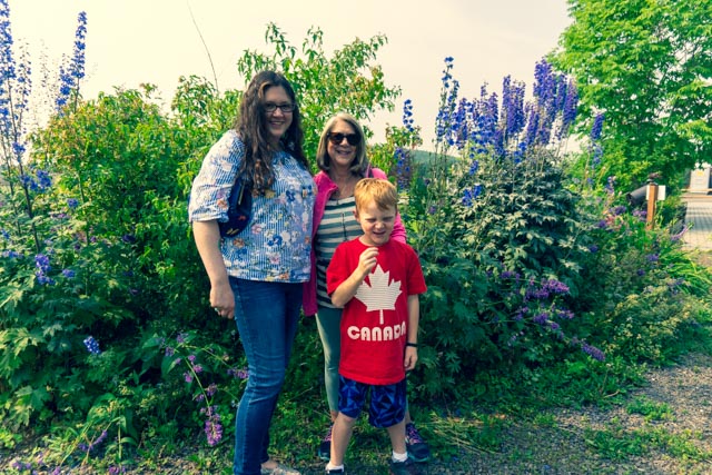
The flowers were in full bloom but the view of Denali was still obscured by the smoke from the nearby wildfires.
Heading next to the UAF Large Animal Reserch Facility we viewed the Musk Oxen. They only had the young ones in the field at the time so Jason found the tractor far more interesting. He had a little trouble starting in second gear though.


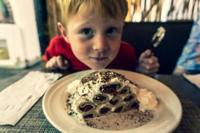
We lunched at a Moldavian restaurant in downtown and Jason tried the Cherry/Chocolate crepes. The food was excellent and I continued to branch out to non-traditional foods, trying a potato-based dumpling and borscht. It was very good.
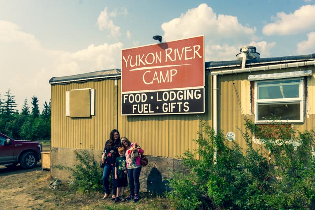
In the morning, we headed out to the Arctic Circle on the Dalton Highway. Nearing Livengood, we began to see the Hess fire up close, passing still smoldering brush and trees. We continued on the Dalton, now a gravel road, to Yukon Camp, about 140 miles north of Fairbanks. Yukon Camp is a fishing camp with virtually no facilities. They did have great cookies and cold drinks mixed amongst the Arctic Circle souvenirs.
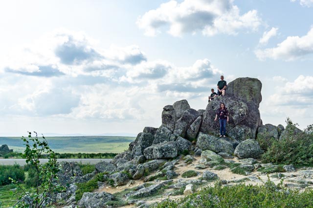
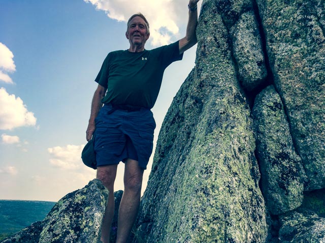
It was still about 60 miles to the magic Arctic Circle waypoint. Somehow, we missed the sign and blew right past it, stopping at Finger Mountain wayside. Jason, Michelle and I climbed on the rock for a photo-op.
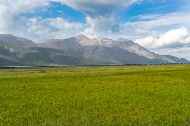
Here is a view of the Dalton and pipeline from the rock.
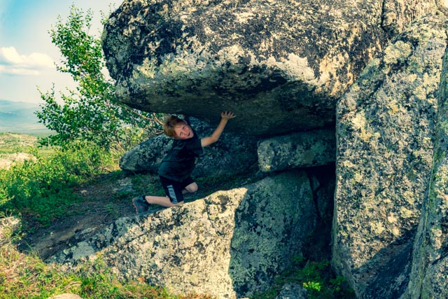
Jason had to keep this rock from falling.
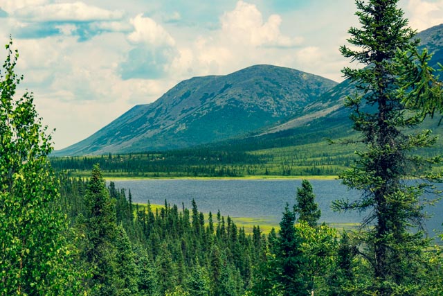
Our next stop was at Grayling Lake. It is supposed to contain arctic grayling but the grassy shoreline, typical of these glacier-formed lakes, kept us from approaching near enough to get a weedless cast off.
We did the mandatory stop for dinner at Coldfoot Camp, population eight, now 260 miles north of Fairbanks. Being a Sunday, they only had the buffet at the Trucker’s Cafe, but alas, we were all hungry and forced ourselves. The baked salmon was excellent as was the smokey cheese casserole. Cathy had the Korean Sesame chicken and Michelle tried a variety. Jason went hungry as they did not have hotdogs.

While at Coldfoot, a thunderstorm quickly passed and a lightning strike started a nearby fire. Luckily, a few minutes later, a downpour occurred and the fire was extinguished. It was amazing how fast this all happened. This picture was taken between storms.
We spent the next couple of nights in Wiseman, population 13, at the Arctic Getaway Cabins Bed & Breakfast. These cabins were about three miles off of the Dalton but directly on a creek that emptied into the nearby river. Solar and wind power were in use here and most everything was home-grown. The only issue here was a 2 am sunset followed by a 4 am sunrise. This is our two story cabin. You can see the wingtip of the airplane that they are building in the second photo. We had to keep Jason clear of this.
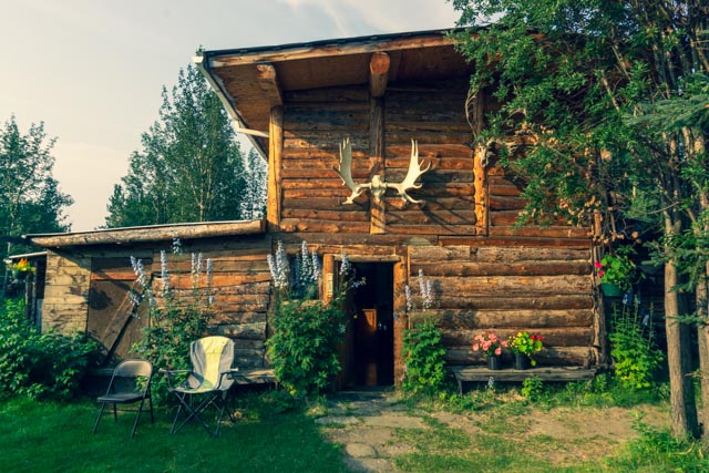
That is a wind generator atop the moose meat drying shed to the left of the owners cabin.
Being Alaskans and living full time within the Arctic Circle, the owners had their sled dogs. They all had their own home and were on long enough chains to allow them to swim in the creek, just over the hill. This guy kept his eye on us continually.

I asked why this one’s home was tipped over and we were told that he purposely tips it over during the summer but it remains upright during the winters as it becomes frozen in place.

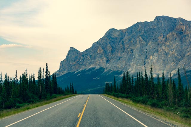
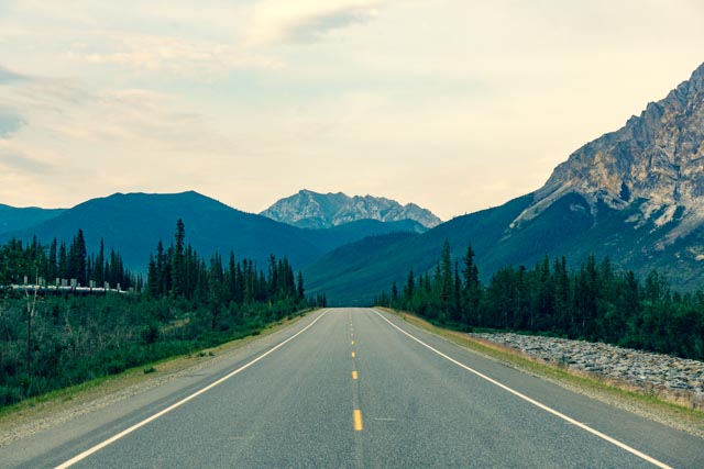
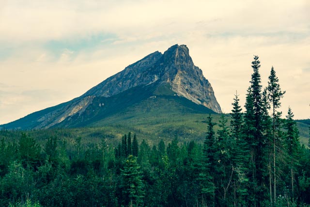
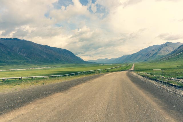
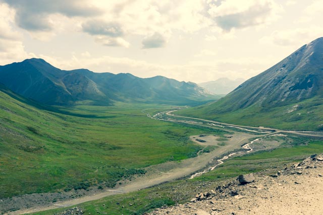
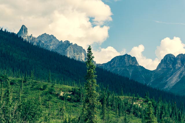
We continued up the highway, here chip-sealed for a couple of miles, to Antigun Pass, the highest highway pass in Alaska. Our destination is Galbraith Camp and Lake, about 360 miles north of Fairbanks and 140 miles from Deadhorse and the oilfields. This is Sukakpak Mountain, in the Brooks Range, the traditional boundary between Eskimo and Athabaskan Alaskan Native Territories.
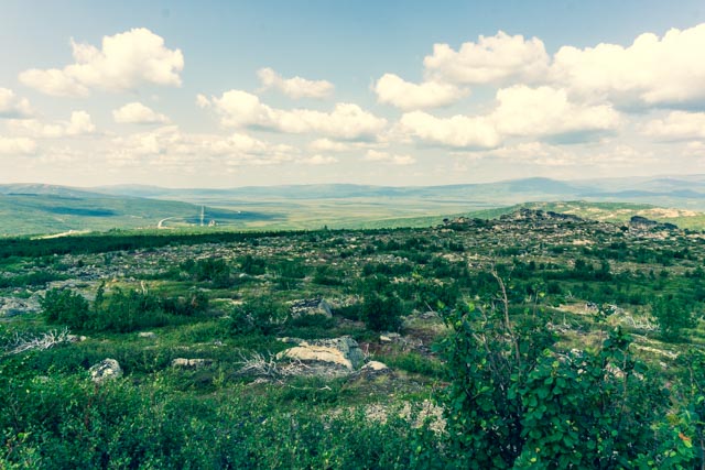
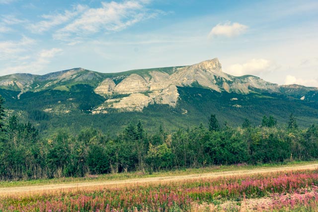
The dark brown mound in the center of this photo is an example of a newly formed “Palsa”. Palsas are low frost heaves that pop up in arctic and sub-arctic regions. As the ice freezes and thaws, it pushes the ground up. They vary in size and height and surround the base of this limestone mountain. There are many of these formations located here, several older, overgrown ones (dark green) can be seen in this photo.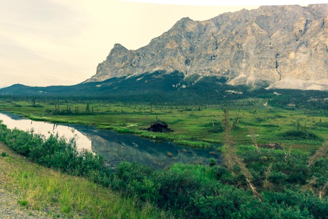
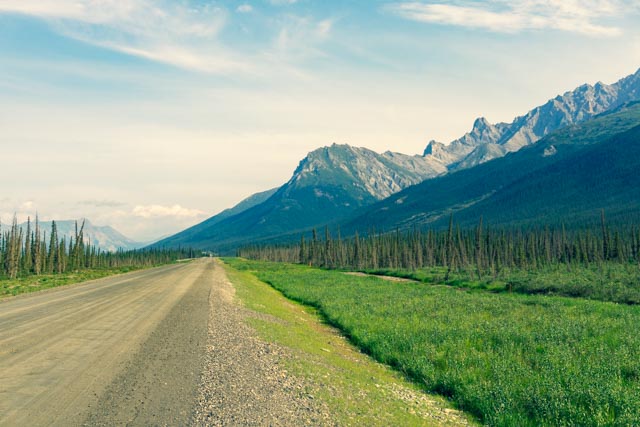
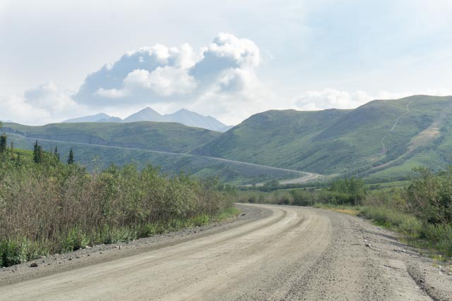
These are a couple of views of the Dalton and the pipeline that it follows heading north.
Now, as we continue northbound, we are on a gravel road again. Everytime we meet an oncoming truck, we pull off the road and stop our vehicle, which helps keep our windshield from being struck by flying rocks. The trucks always have the right of way.
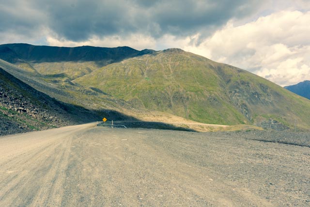
Here you can see the highway heading up Antigun Pass. There are no vehicles visible in the distance.
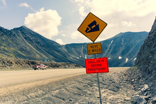
Now, the fun part begins. It is interesting that the trucks are asked to report in at the start and finish of this pass. Hmmm. We did not even start up this section until we could not see any vehicle coming down. It is a relatively narrow 12% grade for the next few miles.

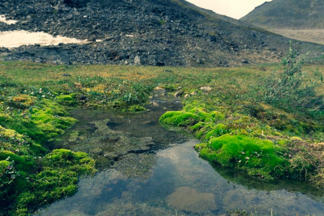
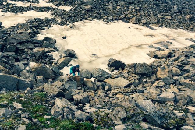
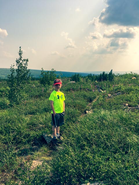
We stopped at the top so Jason could play on the ice. There were also springs popping up at the base of this hill, probably form frozen ice beneath the surface. The ground was tundra-like, very soft and springy.
As we crossed over the top, the landscape immediately changed, from low fir forests to treeless green tundra. There was not a tree to be seen.
We continued to follow the pipeline all the way to Galbraith.
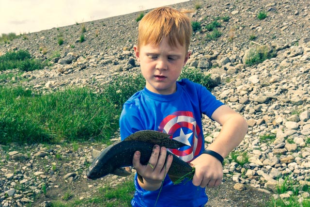
We stopped at this lake to let a caribou pass by. Michelle walked down the road a bit to get a closer look. Next, we took a gravel road behind this lake to the inlet creek and Jason tried his luck at fishing.

Jason posed with his second Arctic Grayling. Both were in the fourteen-inch range, which is large for this fish. He caught his first one when I was still rigging by outfit and his second before I could get a cast off. Oh well, I am glad he caught and landed two of these guys.
This is the pass heading back to Wiseman.
We pulled over going down the grade to take this photo. There is a truck at the “Y” at the bottom but it cannot be seen in this view. It is amazing how distance becomes distorted, it is several miles to the bridge below.
Heading back to Wiseman, the sun is getting low in the sky and the sunlit range is showing through.
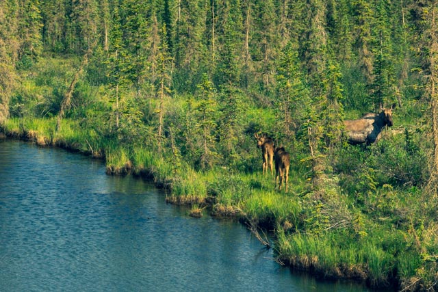
We saw this moose and her ‘moosettes’ munching beside the road.
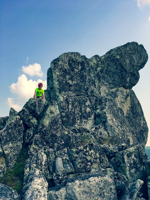
We stopped again at Finger Rock so Jason and I could get out to the actual “Finger Rock” not visible beyond the ridge in this photo. We talked with a couple of hikers who showed us the trailhead and basically said it was touch and go, as the trail would disappear and reappear randomly.
We made it to the formation in about 22 minutes, a bit scratched from the underbrush and decided to pick up the pace on the return, making it back in 12 minutes after we climbed the rock.
Now, for the return trip:
- While still at the cabin, we discovered three missing lug nuts. I tried to tighten our lugs but the factory-supplied wrench would not fit. We drove the 15 miles to Coldfoot Camp for help. They do not do tire work. The mechanic did manage to find a socket that would turn the nuts (metric) and tightened them up. One fell off in his hand it was so loose. He managed to find three odd lug-nuts that fit and put them on. Total charge: $2.00.
On we went
- Somewhere after our quick stop at the Arctic Circle Wayside, our tire pressure started falling on a rear tire. 32, then 31 then 30 . . all the way to 26 lbs.
- Surprise! There is no tire service at Yukon River Camp. We did find someone to put 40 lbs of air in the tire and they told us to get as close to Fairbanks as possible before it went flat.
- It should be noted that there is no cell service in the area.
- We left in a hurry. Soon, the tire pressure monitor went off, 26, then 25, then . . all the way to 11 lbs as we limped into Livengood, where we met a kind Alaskan gentleman. He could not find a socket to take off our wheel, but we quickly found that we did not have the key to get to our spare anyway. He then proceeded to plug the hole in the tire and re-inflated it. It worked! Total charge: $0.00.
We were relieved to be on our way back to Fairbanks, now 65 miles away.
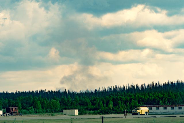
We went past the operations camp for the firefighters fighting the Hess Creek Fire and were surprised to see how they kept the residents apprised of the danger. There is no power or telephones so this is how they do it.
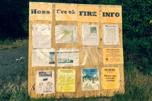
We saw similar signage at other fires in the area and on the way to Denali.
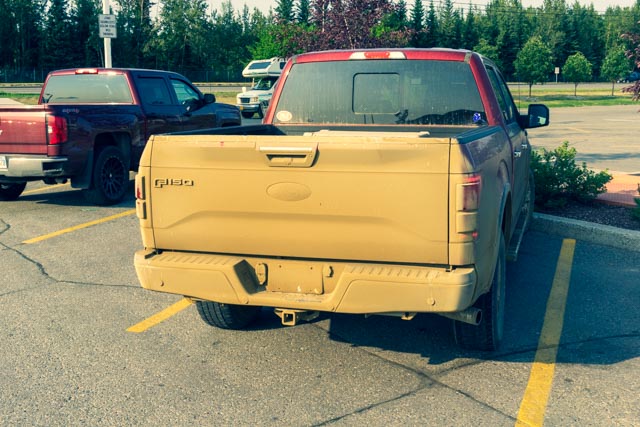
Back in Fairbanks, we got our first real look at the truck. We got it a little dusty on the three day, 600 mile drive.