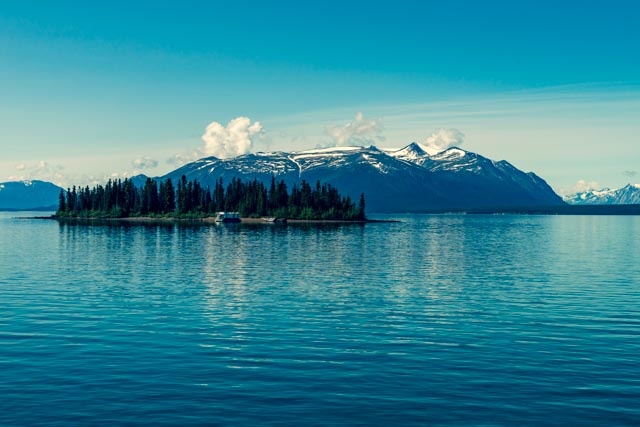
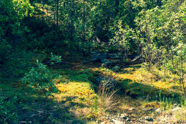
We made a day trip out of the Atlin-Tagish-Carcross Scenic loop, This route starts and ends in Whitehorse but heads south on the Alaska Highway, then west at Jake’s Corner then south at kilometer 1.8 to Atlin. Atlin is called the Shangri-La of the north and overlooks the crystal clear water of 90 mile long Atlin Lake at an elevation of about 3,200 feet. This is looking across one of the smaller lakes along the roadway.

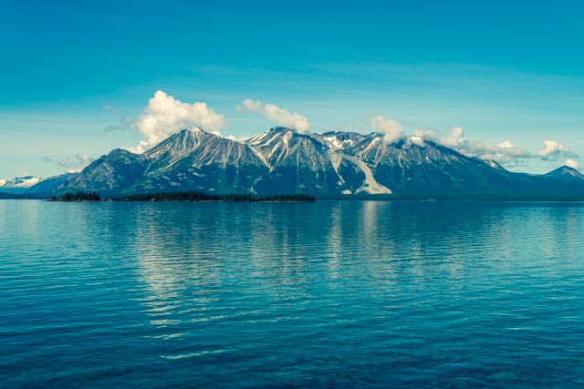
The weather continued to improve and we took this shot looking across Atlin Lake from the Atlin Marina.
We took a dirt road out of town in search of an abandoned gold dredge. After asking directions from a local gold miner, we headed up a very steep 4WD type of road and stopped when Cathy spotted this cabin off in the distance. The doorway just about fit Jason.

Continuing on, we were passed by two dirt bikes riden by a couple of long-distance riders who were touring the the northwest on motorcycles. These “dirt” bikes were 900 and 1000cc. Upon reaching this wooden water trough, Jason immediately befriended the riders and followed them to the dredge, up a very steep hill in the background.
Jason found this pipe thing and decided to get a photo.

These are pictures of the gold dredge. It was hauled up the hill, miles from Atlin, piece by piece.

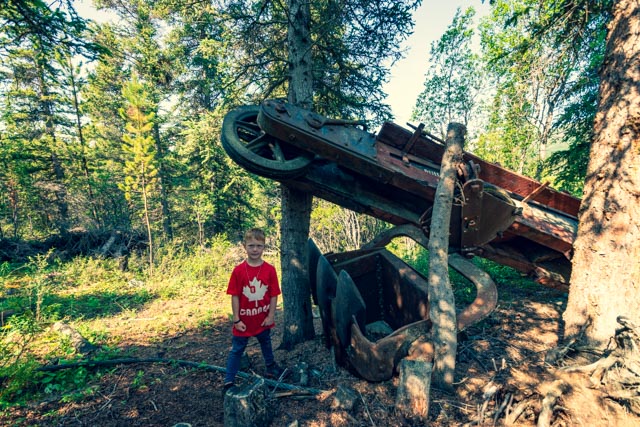
This gold dredge was built by the Fairbanks Steam Shovel Company.


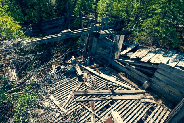
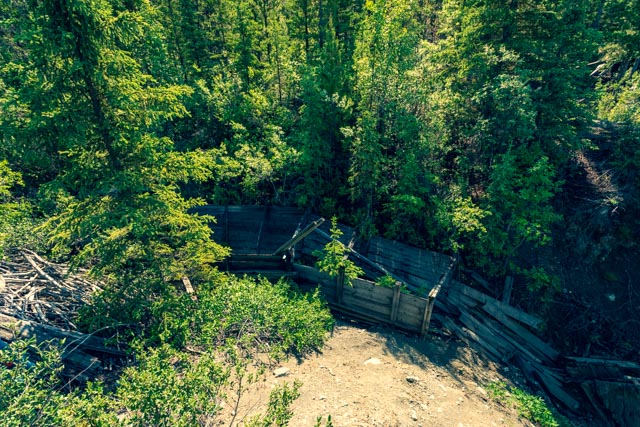
Crossing creek going down the hill, we spotted the remnants of another wooden structure in the bed of the stream. We did not get out to see this up close and personal as we were ankle deep in water.
We passed by the Atlin cemetary on the way back down the hill and were amazed by all of the ways you could have died in Atlin.
Leaving Atlin, we headed back to the Tagish junction and turned towards Carcross. Carcross (formally Caribou Crossing) is on the shore of Lake Bennett. Lake Bennett was the end of the Chilcoot Trail which led most of the stampeders to the goldfields of the Yukon in the late 19th century. Most chose to build skiffs at the west end and sail the lake to Carcross before heading to the Dawson area goldfields. The pink building in the background is the oldest operating store in the Yukon territory. Unfortunately, it is now a tee-shirt dispensary and tourist related “trap”.
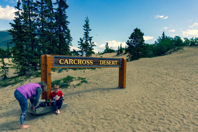
Leaving Carcross, we had to stop and play in the sand. This is the Carcross Desert, billed as the world’s smallest desert and an International Biophysical Programme site for ecological studies. The sand is a left over from a much larger glacial lake bottom and was blown here by strong winds over the centuries.
Cathy and Jason headed up the big dune.

We arrived back in Whitehorse in time to happen across the unloading and placing of the historic totem for tomorrow’s Indigenous Peoples Day Celebrations.
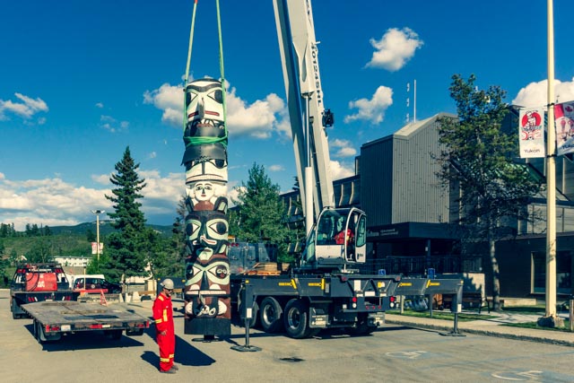
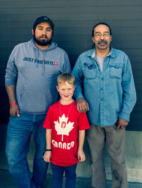
Jason got to meet the Keith Wolfe (right), the Tlingit artist/carver and Aaron, his son. They worked for fourteen months restoring this historic totem.