Sunday
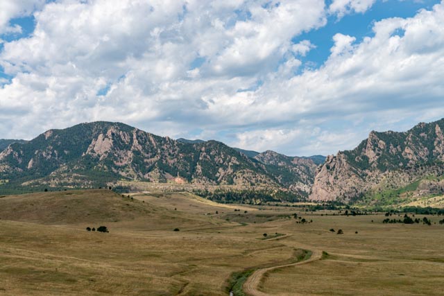
Sunday morning we awoke to say “Good-by” to our home for the past week and head south to Golden, CO. This was our view of the mountains from our campsite as we left in the morning.

We took the back way out of Estes, following Highway 7 south to Lyons, then on to Golden. The drive was incredible, a country road, going through some deep canyons by places that the average traveler seldom take the time to see. What would have been an hour trip on Highway 36 turned into a three hours and we were satisfied that we made the correct decision. The town of Lyons, where we reconnected with Highway 36 looked like a fun town, if we had the time. Maybe on the next trip!
We stopped just outside of Boulder to take in the view and saw this neat off-road bicycle trail meandering down in the valley. There were a lot of road bikes on the highway leading into Boulder and there are bicycle trails of every flavor in the area.

After arriving and setting up the MH, we headed for Mt. Evans, the closest 14’r to us. One of my goals on this trip was to summit at least 5 of the 14’rs. A 14’r is any mountain or peak that measures officially over 14,000 feet , of which Colorado has 50.
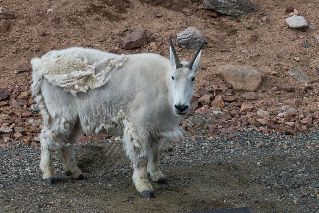
We saw a few mountain goats on the way in. They had not fully dropped their winter coat yet.
This one had just started the process and still looked scruffy.

And we saw the fruits of the winter in this young’n. Sometimes they prefer to eat from a “lounging” position.
Check out the legs on this fella
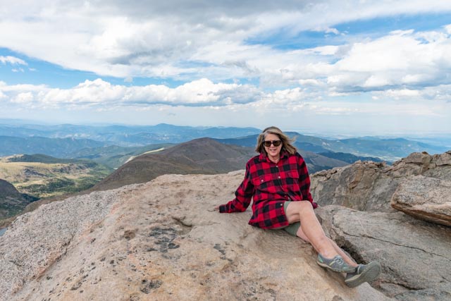
We did make it to the top of Mt. Evans (14,264 feet) and enjoyed the view. We were not adequately prepared for this first climb and Cathy borrowed my long sleeve shirt. It was cold and windy on top! She has her hand on the official survey marker. Heading to REI Monday!
And I am just cool. COLD actually!

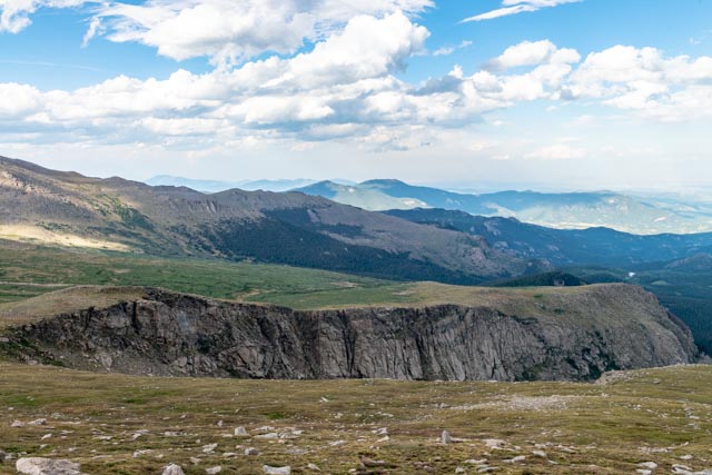
The view from the top was fabulous. We could actually “look down” at Longs Peak in Rocky Mountain National Park! It is the “twin peaks” appearing mountain on the far horizon.

Getting to the top was a bit of a scramble.

I did find a “man cave” on the way down to escape the cold wind!

That is Summit Lake in the valley below us. One route to the top leads up the incline behind and then around this lake. We MAY try this route later on in the week.

This is over this ridgeline to the top. There are steep drop offs on both sides and the wind can blow you off the ridge if you are not prepared.

This is a view of the “gentle slope” that must be climbed behind the lake to reach the top. It looks a little different from this angle.

The landscape is very irregular, the only thing that is consistent is the total lack of trees. This is pure tundra and the ground constantly undulates with the freezing and thawing.
The ground is seeping with moisture, and every depression either holds water or has held water.


We reached Summit Lake late in the afternoon as the sun was beginning to set.
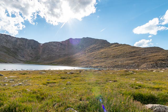
An unnamed, landlocked alpine lake was in the valley below.

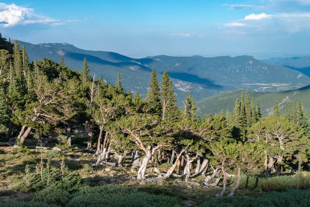
Back on the road returning to Golden, we stopped at the Mount Goliath Research Nature Area, but it was already closed for the evening.
We returned to our base via Idaho Springs (dodging a couple of deer) and then through the deep and stunning canyon along Highway 6. There were eight tunnels through the rock and a separate bicycle/walking trail that ran along the canyon. Apparently there are trout in the river as many fisherpersons were fishing in the late afternoon as we drove through. As usual, it was dark when we arrived back in camp.
