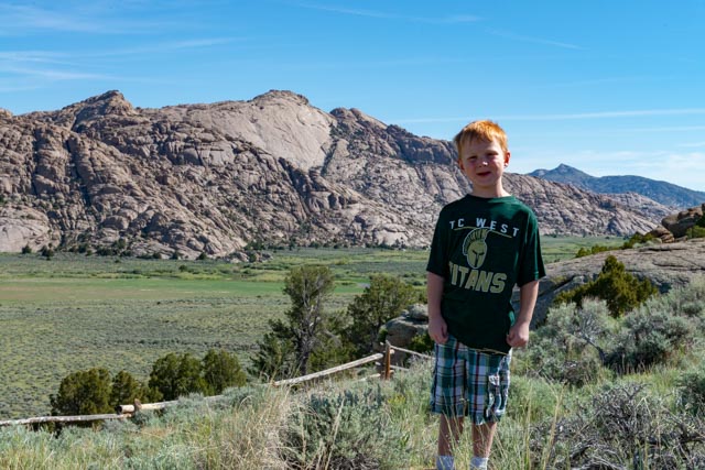
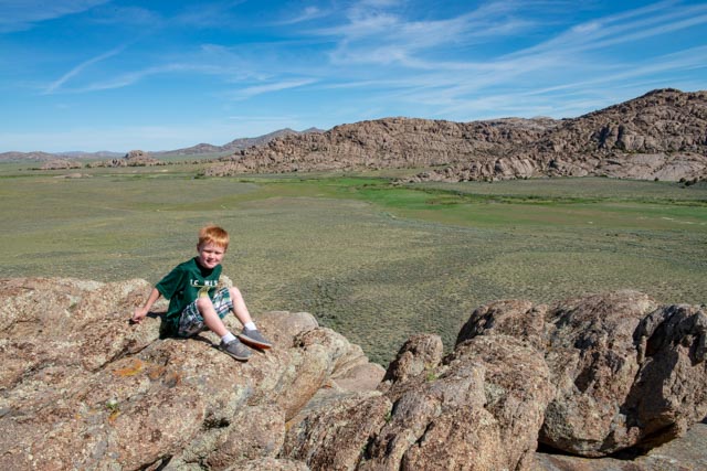
Leaving Rawlins, we took the “alternate route” to Moran Junction then on the Jackson, Wyoming. This would lead us through Fort Washakie, located within the Wind River (Shoshone) Indian Reservation. We came across an unusual rock formation call “Split Rock Historic Site”, located on BLM land, just before entering the reservation. We stopped to let Jason get in some rock climbing. There were many pronghorn antelope in the valley behind Jason.
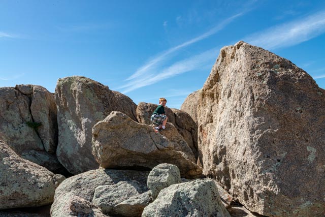
A couple had just come down the trail and warned us that there were two rattlesnakes sunning themselves on the rocks just ahead, so we took a slight detour to avoid disturbing their sunbathe. Jason wasted no time scrambling up the rocks, challenging me to a “race to the top” but I convinced him to slow down to avoid getting hurt (actually, I did not want to race the little mountain goat!!)
Near the top we came across several depressions in the relatively flat rock that had filled with water from recent rainstorms. I don’t know where Jason found rocks to throw into the water, but he managed!

Continuing on to the highest point, we took a couple of minutes to enjoy the view. That is about the length of time he could sit still before challenging me to a “race to the bottom” Again, I declined!
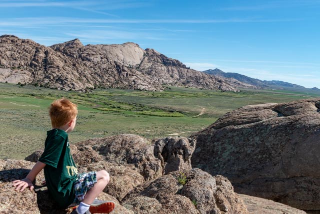
Dozens of antelope are in the valley below, but these rocks are much higher than they appear.
We had to cross these cattle guards entering the area and before I could tell him to stop, Jason had already tripped on one. Here I am giving him lesson on the proper way to cross the guards, along with a lesson on their purpose
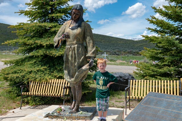
Our next stop would be Fort Washakie. The fort was established in 1869 to offer protection to westward bound settlers and immigrants. It was originally named Camp Auger, after General Christopher Auger, Commander of the Department of the Platte. It was renamed in 1878 in honor of Chief Washakie of the Shoshone tribe, making the fort the only U.S military outpost named after a Native American. The fort was operated as a military outpost until 1909, when it was decommissioned and turned over to the Shoshone Indian Agency. This is the final resting place of Lemni Shoshone Princess Sacagawea and Shoshone Chief Washakie. The Wind River Reservation is the seventh largest Indian reservation in the country at 2.2 million acres.
We took a side trip up the hill to the Sacagawea Graveyard and visited her gravesite. Sacagawea was the interpreter and guide for the Lewis and Clark expedition and joined the two (with her husband, Toussaint Charbonneau, a Quebecois trapper) near present day Washburn, North Dakota for the purpose of guiding them up the Missouri River. While Sacagawea has been depicted as a guide for the expedition, she is recorded as providing direction in only a few instances. Her work as an interpreter certainly helped the party to negotiate with the Shoshone; however, her greatest value to the mission may have been simply her presence during the arduous journey, which demonstrated the peaceful intent of the expedition. Her memorial:
The gravesite:

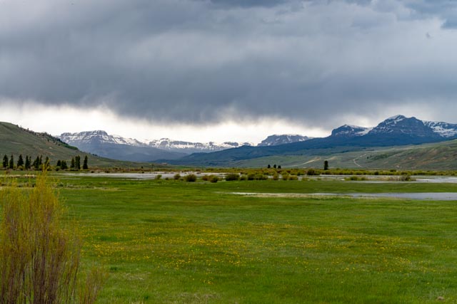
Continuing on, we stopped for a minute just before climbing the pass into the Tetons. The clouds opened up on me as I was taking this shot and I returned to the MH dripping wet. Go figure!