Upon leaving the Monument Valley area, we took Highway 160 E from Kayenta. The monument is in the Navajo Nation and stands on the intersection of Utah, Arizona, New Mexico and Colorado. Cathy is standing on four states!

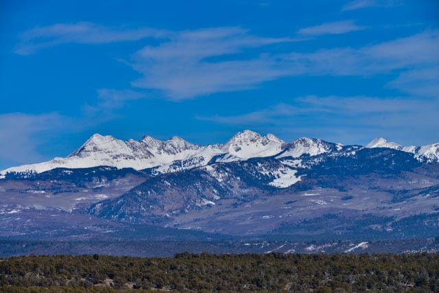
We continued into Colorado and stopped at Mesa Verde National Park. This is the sight from the visitor center at the entrance.
We had to drop the motor home to make the 26 mile ride to the main cluster of ruins. The road was steep, narrow and twisty but afforded great views of the valleys below.
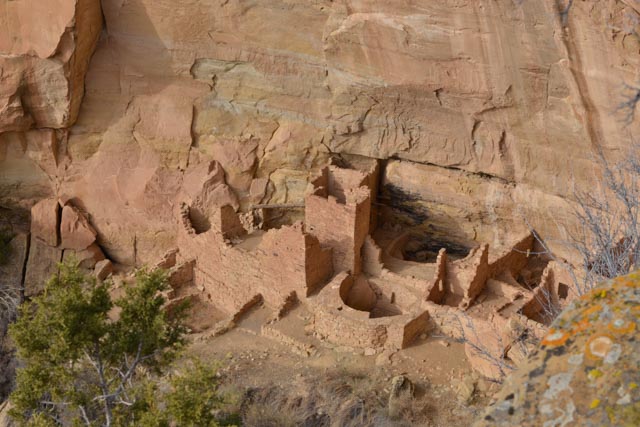
This is a view of the “Spruce Tree House”. The trail leading to the structure and the petroglyph panel was closed for the winter, so I climbed out on a rock overhang and took this shot from across the canyon.

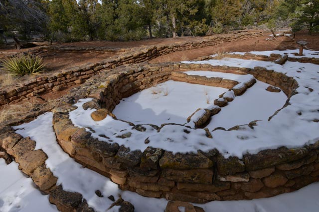
This is the “Square Tower” site, located on the Mesa Top Loop, the only “high-rise” (four-story structure) in the ruins.

To the left of the Tower, there remain additional ruins.
Our camo truck, hiding in the bush above the Tower.

The Mesa Loop was very informational in that it took you through the evolution of housing, from about 500 AD to 1300 AD. There are over 4,500 archeological sites in the park, and only 600 are cliff dwellings.
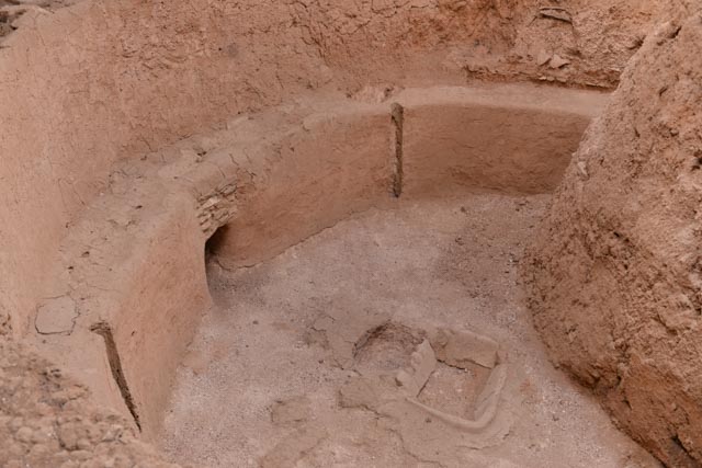
This is one of the earliest dwellings, ca 500 AD. This is called a “pit house” and is basically a semi-basement style home, with a wood structure built to cover. It is very rudimentary compared to later pit houses. You can see the center fire pit surrounded by four corner posts holes. The posts were still wooden when this site was discovered and were dated to determine the age.

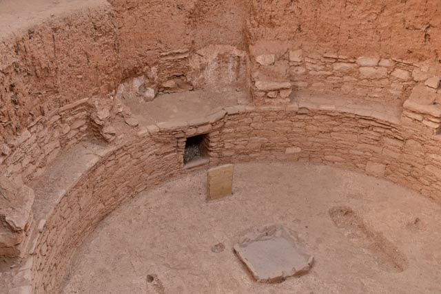
A later (700-900 AD) pit hose. The fire pit is still centered in the structure, but there is a vent (looks like a fireplace) with a horizontal vent chamber that makes a 90 degree turn and goes vertical to draw in fresh air. This was added because the fire pit would make the living quarters very smokey. By drawing in fresh air, kind of like an “air syphon”, the main room remained relatively smoke free. The stone in front of the fire pit would direct inbound air up and over the fire to minimize disruption of the fire itself caused by the air flow.
Later yet, these top sites were used during the period 900 AD to 1100 AD. There were a lot of improvements made, including multiple levels, storage areas and some had several rooms.


Starting about 1200 AD, the residents abandoned the pit house concept and went with cliff side structures. This structure, viewed from across the canyon, is called “Cliff Palace”.


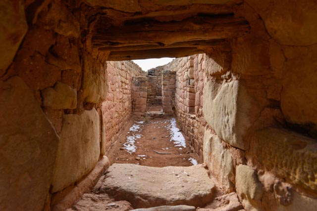
We viewed Cliff Palace from the “Sun Temple”, an above-ground structure. Entrance is limited/prohibited due to deterioration of the structure and there is extensive strengthening at the tops of the walls (the pinkish mortar on top of the vertical walls). This is looking through a window into several of the smaller, outside rooms.
I did manage to get high enough, with my long arms, to photograph a little of the interior. This structure was never completed, as there is no evidence of a roof or roof timbers. Although the actual purpose of this structure is conjecture, it appears purely ceremonial, as there are no doors, no windows and no fire pits. In addition, the design is purposeful, compared to the relatively haphazard designs of the cliff dwellings from the same period. It is believed the residents left in mass before this could be completed.


When we made the 26 mile trek back to the motor home, there was a trailer dropped behind us. The trailer had GA tags! Small world. While we were re-connecting the truck to the motor home, we watched a grouping of mule deer snacking on a nearby field.
