We were traveling a little ahead of schedule and arrived in St. John, New Brunswick (not to be confused with St. John, Newfoundland) and spent the night in a WalMart parking lot with several other motor homes and trailers. If you don’t have reservations, you don’t have a space here on weekends. In the morning we moved on to Sussex, where we did have reservations. We were directed via GPS down a road with a low bridge. I stopped and walked over to a local rancher (who had a Kenworth in the driveway) and made sure we would make it under the bridge. He told us to stay in the center going through so we went through safely.
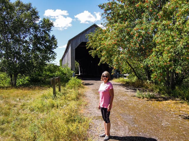
We stopped at this covered bridge and took some photos but soon found out there were covered bridges everywhere so this will be the only photos we will include.

The inside of the bridge…

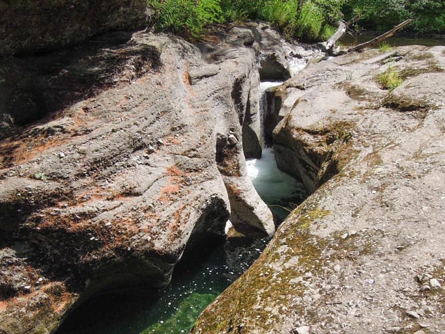
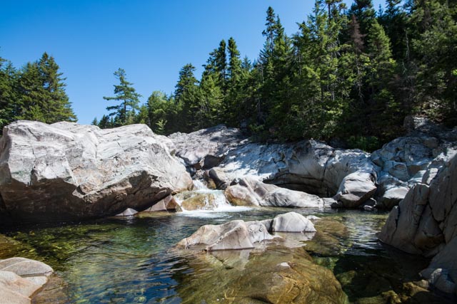
Since we were ahead of schedule, we decided to take a ride up the canyon and found this neat cataract off the road. The water was clear and cold. This was very near a small ski resort.
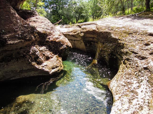
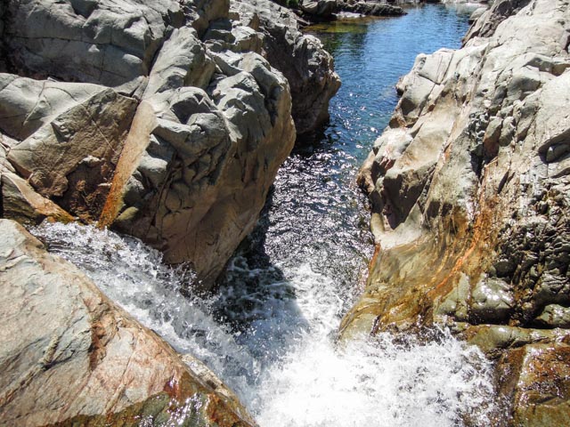
I crossed over the creek just above the waterfall in the first photo and just had to go into the hole that was carved out in the rocks.
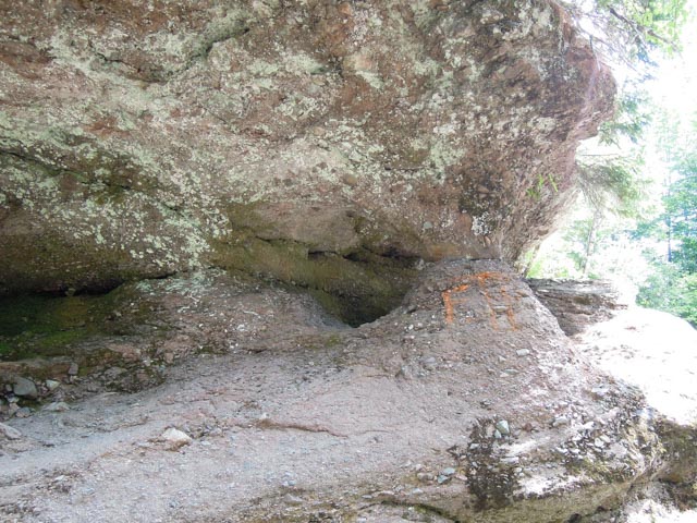

It was amazing what the water had carved in this small canyon over the years; there were many pools, small falls and potholes going downstream.
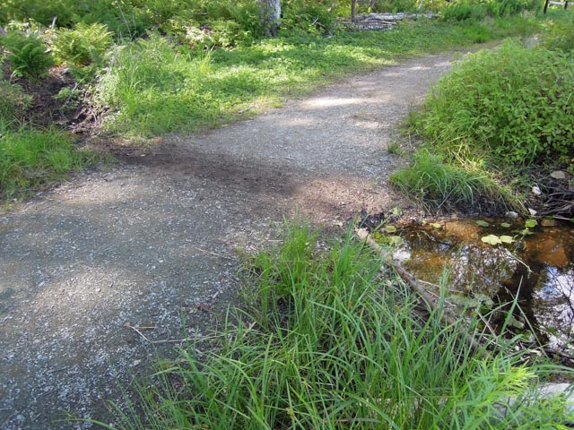
We went into the Fundy National Park and made a stop at MacLaren Pond. I stood on top of the mound in the foreground to take a photo and heard some weird noises coming from within. Apparently, this was a beaver home…

You can see where the beaver was dragging brush from across the path to his/her home…
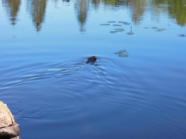
I must have ticked the beaver off because it came out, glared at us then proceeded to swim across the pond…
We felt eyes upon us and we found this guy…

This is the visiter center in Fundy National Park. It is interesting that you have to drive almost completely through the park before getting here; the flowers in this area were simply gorgeous.


We went to the small town of Alma to see the famous “beaches”. This is looking up the Upper Salmon River. There are NO salmon in this river. We talked with some local fishermen that were fishing here and they said the main catch here were Stripers. One of the men took a Canadian Flag Pin off his hat and gave it to me. It is now on my AT hat!
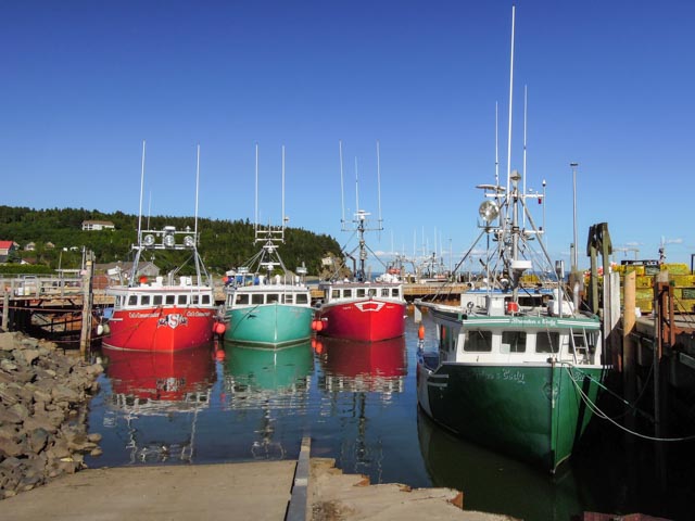
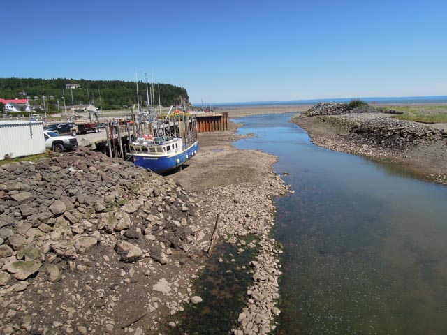
They were busy in town unloading the lobster boats, with forklifts going up and down the highway (the processing facility was about two blocks up the highway). We returned to do some hiking in the morning and were amazed at the difference 12 hours made with the famous Bay of Fundy tides.

This is what is left of the Salmon River at low tide…

This is Caribou Plain, Fundy’s only raised peat bog. It is accessible by trail…

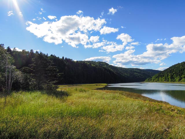
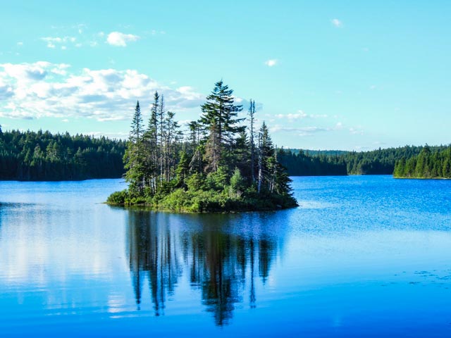
The sun was starting to set on the way back to Sussex so we stopped and took this photo of Bennet Lake. We would come back to hike here in the morning.
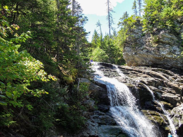
In the morning, we took a ranger-recommended day hike, a loop trail taking in three sets of waterfalls along the Broad River. The outbound trail was called the Moosehorn and we took the Laverty Falls trail back to the trailhead. There were some really deep pools on the Moosehorn trail and in retrospect, I should have dove in!
This rock looked like a “throne” to me…

This is the small waterfall going into the 12 foot deep (+/-) pool…
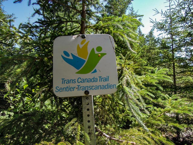
This sign gave us pause; we had hiked miles without seeing anyone and kind of felt maybe we took the wrong trail? We kept going upstream and discovered fortunately we were on the right trail, it just paired up with the Tran Canada for a short stretch.
This is Laverty Falls. We soaked our feet for a while in a small whirlpool above the falls before continuing on. We, at this point, were getting tired and we had gone about five miles on a very rocky and sometimes VERY steep trail, covered in roots and other obstacles. It was listed as “strenuous” in the trail guide, but we went the “easy” way – counter-clockwise!
The pool above the falls…
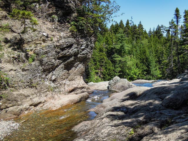
Upstream from the top of the falls, more fun…

Not to give up, we then continued to a trailhead for Dickson Falls. We took these photos of the cascades leading up to the falls and the falls themselves. It was incredibly green and mossy in this heavily shaded canyon.


This is a view of the point overlooking Alma on the Bay of Fundy from the Dickson Falls Trailhead…

