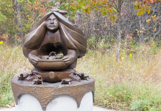
We entered Minnesota on Highway 2 through Grand Forks, North Dakota. We took a leisurely day of driving (less than 300 miles) stopping at a couple of places we found interesting. This is a statue of the river protector, at the headwaters of the Mississippi River. We went to Lake Itasca in the Mississippi Headwaters State Park to see where the great river began. There had been many attempts to find the source of the river and the credit has been given to Henry Schoolcraft for the actual discovery in 1832. There had been no attempt to find the actual source of the river until Thomas Jefferson sent Lewis and Clark westward in 1804. (The Chippewa who led Schoolcraft, and whose canoes he traveled in, obviously did not know where they were going).
Notice the turtles in the bowl the Indian maiden is holding and the turtles around the top of the base.
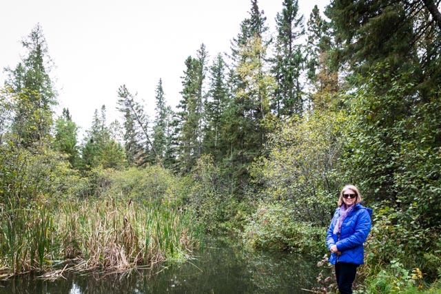
There is a wooden staircase leading down to the river on both sides of this stream here allowing you to “walk across the Mississippi”. We chose not to get wet at this point in the day.
After crossing into Wisconsin at Duluth we drove down a very narrow road on a spit to arrive at this spot. We did spot two golden eagles flying above us as we negotiated through the low hanging trees, washed out and narrow roadway.
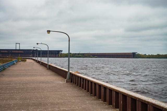
The Army Corps of Engineers built this seawall to protect one of the busiest ports in the US. There were huge grain and cargo ships in this section that rival anything you would see at any major seaport. There were swells in the four to six-foot range and it was interesting to watch some of the smaller fishing boats navigate through this section.

Here you can see the gigantic seawall that the ships travel through…
This is the end of the road. Yes, we had to disconnect and reconnect as there was not enough room for us to turn around here. We were a little afraid of the seagulls flying overhead but were not hit…

A little windy. A little chilly…
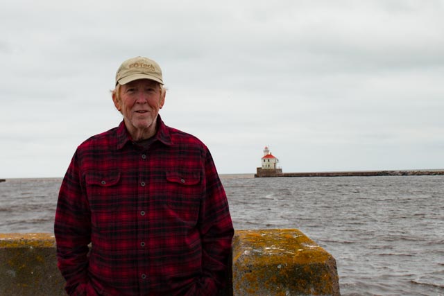
The lighthouse at the entrance to the dredged port…

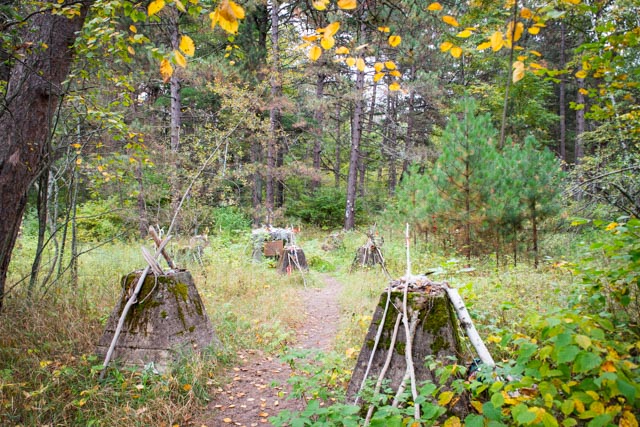
On the way out, we spotted this in the bushes, so we had to investigate. It was a burial ground of the Fond Du Lac Band of the Chippewa people dating from the 17th century. The remains were removed in 1918 and relocated to St. Francis Cemetary Superior.
After entering Wisconsin, we stopped at this interpretive center, they had parking that could accommodate us and we needed to stop for lunch . The center was shaped like a lighthouse and had a very good educational sections of the formation of the great lakes. It is hard to believe the ice fields (glaciers) that formed this area stretched down from the Arctic Circle and measured over one mile high. That’s a lot of ice! It would take ten miles of snow to make one mile of ice. The pressure on the earth of these glaciers was over 290,000 tons per square foot. The depressions left by the receding ice filled with water and created the series of large lakes.

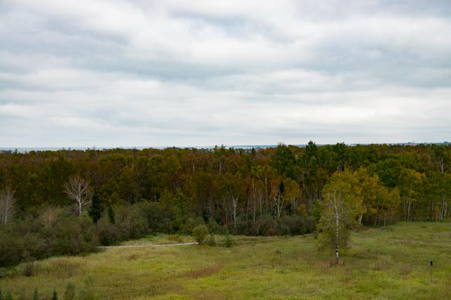
We climbed up to the observation deck and took these shots, The first is forest leading to Lake Superior in the distance.
This is us having lunch at the coach cafe…

